Imanta
Coordinates: 56°57′N 24°00′E / 56.950°N 24.000°E
| Imanta | |
|---|---|
| Neighborhood of Riga | |
 | |
 Location in Riga | |
| Coordinates: 56°57′N 24°0′E / 56.950°N 24.000°E | |
| Country |
|
| City | Riga |
| District | Kurzeme District |
| Area | |
| • Total | 9.003 km2 (3.476 sq mi) |
| Population (2008) | |
| • Total | 49,867 |
| Time zone | EET (UTC+2) |
| • Summer (DST) | EEST (UTC+3) |

"Maxima" mall in Imanta

Imanta railway station
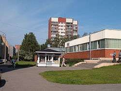
Imanta is a neighbourhood on the northwestern edge of Riga, Latvia. The neighbourhood's northern border is Kurzeme Prospekts (Boulevard); and in the south, Imanta is separated from the newer Zolitūde neighbourhood by the Riga railroad. Prior to development, the region consisted largely of pine forests, sections of which have been preserved in Anninmuiza Park in the center of Imanta, and the Kleistu forest to its north.
This article is issued from Wikipedia - version of the 12/22/2015. The text is available under the Creative Commons Attribution/Share Alike but additional terms may apply for the media files.