Huehuetenango Airport
| Huehuetenango Airport | |||||||||||
|---|---|---|---|---|---|---|---|---|---|---|---|
| IATA: HUG – ICAO: MGHT | |||||||||||
| Summary | |||||||||||
| Airport type | Public | ||||||||||
| Serves | Huehuetenango | ||||||||||
| Elevation AMSL | 6,135 ft / 1,870 m | ||||||||||
| Coordinates | 15°19′00″N 91°30′20″W / 15.31667°N 91.50556°WCoordinates: 15°19′00″N 91°30′20″W / 15.31667°N 91.50556°W | ||||||||||
| Map | |||||||||||
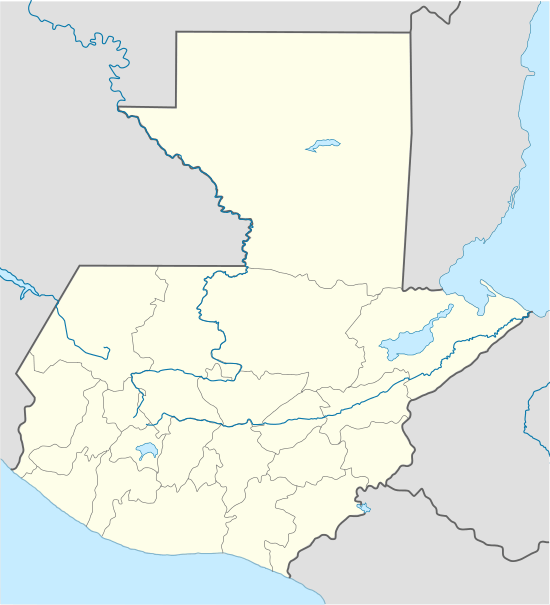 HUG Location of the airport in Guatemala | |||||||||||
| Runways | |||||||||||
| |||||||||||
Huehuetenango Airport (IATA: HUG, ICAO: MGHT) is an airport serving the city of Huehuetenango, the capital of Huehuetenango Department, Guatemala.
See also
References
- ↑ Google Maps - Huehuetenango
- ↑ Airport information for HUG at Great Circle Mapper.
External links
This article is issued from Wikipedia - version of the 7/18/2016. The text is available under the Creative Commons Attribution/Share Alike but additional terms may apply for the media files.