Hornby, Richmondshire
| Hornby | |
 The village of Hornby and the Church of Saint Mary |
|
 Hornby |
|
| Population | 280 (Including Appleton East and West, and Arrathorne 2011)[1] |
|---|---|
| OS grid reference | SE222938 |
| Civil parish | Hornby |
| District | Richmondshire |
| Shire county | North Yorkshire |
| Region | Yorkshire and the Humber |
| Country | England |
| Sovereign state | United Kingdom |
| Post town | Bedale |
| Postcode district | DL8 |
| Police | North Yorkshire |
| Fire | North Yorkshire |
| Ambulance | Yorkshire |
| EU Parliament | Yorkshire and the Humber |
Coordinates: 54°20′22″N 1°39′36″W / 54.33943°N 1.66000°W
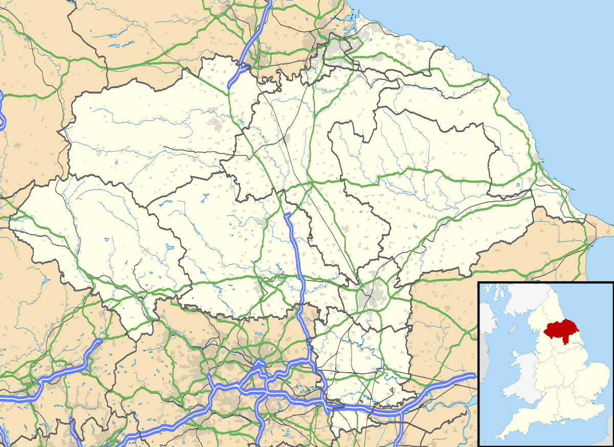
Hornby is a small village and civil parish located about 4 miles north-west of Bedale. It is part of the non-metropolitan district of Richmondshire in the shire county of North Yorkshire, England.[2][3]
Governance
Hornby is part of the Hornby Castle electoral ward.[3] This ward stretches north to Brough with St. Giles with a total population of 1,766.[4]
References
- ↑ "Parish population 2011". Neighbourhood Statistics. Office for National Statistics. Retrieved 8 August 2015.
- ↑ Ordnance Survey: Landranger map sheet 99 Northallerton & Ripon (Pateley Bridge & Leyburn) (Map). Ordnance Survey. 2013. ISBN 9780319231593.
- 1 2 "Ordnance Survey Election Maps". www.ordnancesurvey.co.uk. Ordnance Survey. Retrieved 3 April 2016.
- ↑ "Hornby Castle ward population 2011". Neighbourhood Statistics. Office for National Statistics. Retrieved 6 April 2016.
External links
![]() Media related to Hornby, Richmondshire at Wikimedia Commons
Media related to Hornby, Richmondshire at Wikimedia Commons
This article is issued from Wikipedia - version of the 4/6/2016. The text is available under the Creative Commons Attribution/Share Alike but additional terms may apply for the media files.