Hastière
| Hastière | |
|---|---|
| Municipality | |
|
Town Hall of Hastière | |
 Hastière Location in Belgium | |
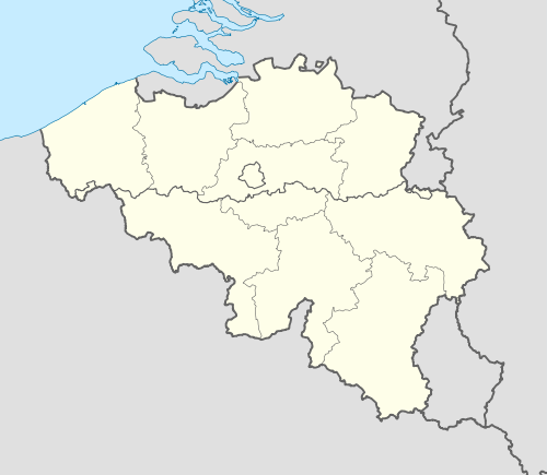
|
Location of Hastière in Namur province  | |
| Coordinates: 50°13′N 04°50′E / 50.217°N 4.833°ECoordinates: 50°13′N 04°50′E / 50.217°N 4.833°E | |
| Country | Belgium |
| Community | French Community |
| Region | Wallonia |
| Province | Namur |
| Arrondissement | Dinant |
| Government | |
| • Mayor | Claude Bultot (PS) |
| • Governing party/ies | PS |
| Area | |
| • Total | 56.46 km2 (21.80 sq mi) |
| Population (1 January 2016)[1] | |
| • Total | 5,959 |
| • Density | 110/km2 (270/sq mi) |
| Postal codes | 5540-5544 |
| Area codes | 082 |
| Website | www.hastiere.be |

Hastière (French pronunciation: [as.tjɛʁ]) is a Walloon municipality located in the Belgian province of Namur. On 1 January 2006 the municipality had 5,230 inhabitants. The total area is 56.46 km², giving a population density of 93 inhabitants per km².
The municipality consists of the following sub-municipalities: Hastière-Lavaux (location of town hall), Hermeton-sur-Meuse, Waulsort, Hastière-par-delà, Blaimont, Heer, and Agimont.
Hastière's attractions along the Meuse River include the Romanesque church of a former Benedictine Monastery (at Hastière-Lavaux), the Renaissance Castle of Freÿr surrounded by 18th century classical gardens and facing the rocks of Freÿr (north of Waulsort), and the 17th century buildings of another former Benedictine Monastery (at Waulsort).

See also
References
- ↑ Population per municipality as of 1 January 2016 (XLS; 397 KB)
External links
-
 Media related to Hastière at Wikimedia Commons
 - http://www.hastiere.be
- map
 |
Florennes | Onhaye | Dinant | |
| Doische | |
Houyet | ||
| ||||
| | ||||
| Givet (FR-08) |
Municipalities in the Province of Namur | ||
|---|---|---|
| Dinant |  | |
| Namur | ||
| Philippeville | ||