Harvel
Coordinates: 51°20′41″N 0°22′07″E / 51.3446°N 0.3685°E
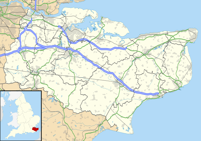
Harvel is a village in the civil parish of Meopham in the west of the county of Kent, England.[1][2] It is sited on the southern edge of the North Downs.
The village's name may derive from the names Halifield (Holy Field) or Heorot Field (Hartfield) mentioned in a Saxon charters. A collection of sarsen stones north of the village may be a prehistoric tomb but is more likely a natural group.
On 27 August 1950, Harvel, along with the village of Lenham, was one of the signal receiving points (between Calais and London) of the first-ever live television pictures from the continent.
It has a village green and pond, a cricket team, a village hall, a greyhound rehoming centre and a public house, called The Amazon and Tiger.
References
- ↑ Ordnance Survey: Landranger map sheet 177 East London (Billericay & Gravesend) (Map). Ordnance Survey. 2011. ISBN 9780319232125.
- ↑ "Harvey Village Web Site". www.harvel.net. Retrieved 18 March 2016.
External links
![]() Media related to Harvel at Wikimedia Commons
Media related to Harvel at Wikimedia Commons
Towns and villages in the Borough of Gravesham | ||
|---|---|---|
 | ||