Harswell

Coordinates: 53°51′28″N 0°44′44″W / 53.857764°N 0.745652°W
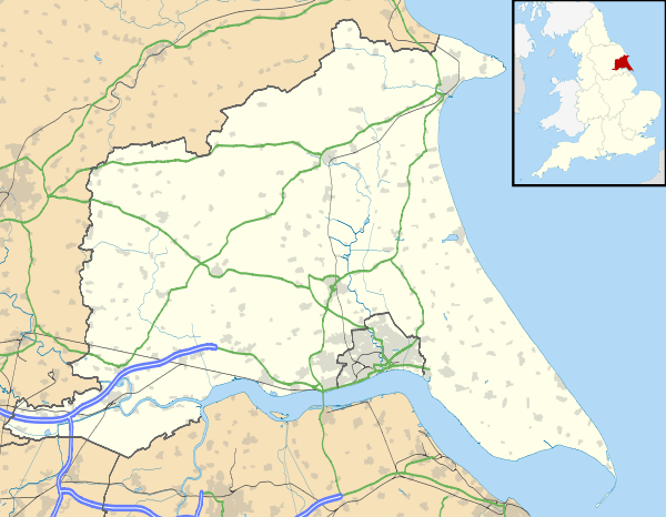
Harswell is a hamlet in the East Riding of Yorkshire, England. It is approximately 3.5 miles (5.6 km) west of Market Weighton town centre, 5 miles (8 km) south of Pocklington town centre, and 1 mile (1.6 km) west of the A614 road.
It forms part of the civil parish of Everingham and Harswell.
In 1823 Harswell was a village and civil parish in the Wapentake of Harthill. Population at the time was 78, with occupations that included five farmers, and a carrier who operated between the village and Market Weighton once a week.[1]
Harswell was served by Everingham railway station on the Selby to Driffield Line between 1853 and 1954.[2]
References
- ↑ Baines, Edward (1823): History, Directory and Gazetteer of the County of York, p. 213
- ↑ Butt, R. V. J. (1995). The Directory of Railway Stations: details every public and private passenger station, halt, platform and stopping place, past and present (1st ed.). Sparkford: Patrick Stephens Ltd. ISBN 1-8526-0508-1. OCLC 60251199.
- Gazetteer – A–Z of Towns Villages and Hamlets. East Riding of Yorkshire Council. 2006. p. 6.
External links
 Media related to Harswell at Wikimedia Commons
- Harswell in the Domesday Book
This article is issued from Wikipedia - version of the 12/5/2014. The text is available under the Creative Commons Attribution/Share Alike but additional terms may apply for the media files.