Hapur district
| Hapur district | |
|---|---|
| District of Uttar Pradesh | |
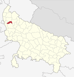 Location of Hapur district in Uttar Pradesh | |
| Country | India |
| State | Uttar Pradesh |
| Administrative division | Meerut |
| Headquarters | Hapur |
| Tehsils | Hapur, Garhmukteshwar, Dhaulana |
| Area | |
| • Total | 660 km2 (250 sq mi) |
| Population (2011) | |
| • Total | 1,338,211 |
| • Density | 2,000/km2 (5,300/sq mi) |
| Website | Official website |
Hapur district, formerly known as Panchsheel Nagar, was announced on 28 September 2011 as one of three new districts of the Uttar Pradesh state of India. It was renamed in 2012.[1] Hapur district is a part of Meerut division. It is undergoing changes for development into a fully realised district. Soon it will be well developed and more administrative facilities will be available.[2]
Hapur consists of the tehsils of Hapur, Garhmukteshwar and Dhaulana. It had been part of Ghaziabad district.
References
- ↑ "Important Cabinet Decisions". Lucknow: Information and Public Relations Department. Retrieved 17 January 2013.
- ↑ "UP gets three new districts: Prabuddhanagar, Panchsheel Nagar, Bhimnagar". The Indian Express. 29 September 2011. Retrieved 15 May 2014.
Coordinates: 28°43′51″N 77°46′33″E / 28.7309°N 77.7757°E
This article is issued from Wikipedia - version of the 8/16/2016. The text is available under the Creative Commons Attribution/Share Alike but additional terms may apply for the media files.