Haddal
| Haddal | |
|---|---|
| Village | |
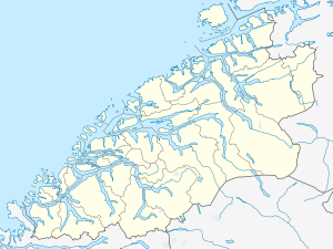 Haddal 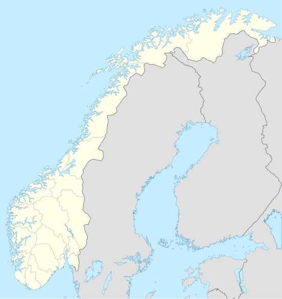 Haddal Location in Møre og Romsdal | |
| Coordinates: 62°16′55″N 05°52′06″E / 62.28194°N 5.86833°ECoordinates: 62°16′55″N 05°52′06″E / 62.28194°N 5.86833°E | |
| Country | Norway |
| Region | Western Norway |
| County | Møre og Romsdal |
| District | Sunnmøre |
| Municipality | Ulstein Municipality |
| Area[1] | |
| • Total | 0.35 km2 (0.14 sq mi) |
| Elevation[2] | 3 m (10 ft) |
| Population (2012)[1] | |
| • Total | 323 |
| • Density | 923/km2 (2,390/sq mi) |
| Time zone | CET (UTC+01:00) |
| • Summer (DST) | CEST (UTC+02:00) |
| Post Code | 6064 Haddal |
Haddal is a village in Ulstein Municipality in Møre og Romsdal county, Norway. The village is located on the western side of Hareidlandet island about 5 kilometres (3.1 mi) northwest of the village of Eiksund, about 4 kilometres (2.5 mi) southeast of the island of Dimnøya, and about 10 kilometres (6.2 mi) south of the town of Ulsteinvik.[3]
The 0.35-square-kilometre (86-acre) village has a population (2012) of 323, giving the village a population density of 923 inhabitants per square kilometre (2,390/sq mi).[1] The village sits at the end of the long Ringstaddalen valley through which the river Haddalselva flows.
References
- 1 2 3 Statistisk sentralbyrå (1 January 2012). "Urban settlements. Population and area, by municipality.".
- ↑ "Haddal" (in Norwegian). yr.no. Retrieved 2010-09-24.
- ↑ Store norske leksikon. "Haddal" (in Norwegian). Retrieved 2010-09-24.
This article is issued from Wikipedia - version of the 8/1/2016. The text is available under the Creative Commons Attribution/Share Alike but additional terms may apply for the media files.