Habibabad
| Habibabad | |
|---|---|
| Town | |
 Habibabad | |
| Coordinates: 30°56′56″N 73°44′36″E / 30.94889°N 73.74333°ECoordinates: 30°56′56″N 73°44′36″E / 30.94889°N 73.74333°E | |
| Country |
|
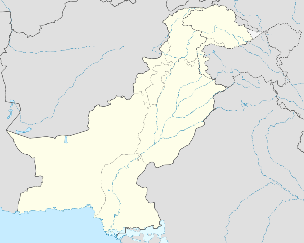
| Province | Punjab |
| District | Kasur |
| Time zone | PST (UTC+5) |
Habibabad (Urdu: حبِيب آباد), (previously, Wan Radha Ram) is a town part of Pattoki Tehsil in the Kasur District in the Province of Punjab, Pakistan. The population is about 150,000.
Location
It lies on the N-5 about 96 kilometres (60 mi) away from Lahore the capital of Punjab Province.
History and environs
The town was named Habibabad in Sardar Araf Nakai's period. Before that it was named Wan Radha Ram the name of a Sikh who had lived there before independence.
Neighborhoods include Bypass, Shuja Market, Shergarh Bazar, Sanda Bazar and Rail Bazar. Much of the town is seeing new construction, as in Faisal Town, Ashrafia Town, and the Lalapak housing scheme. The main areas of Habibabad are Nei Mandi, Purani Mandi, Lalazar Colony, Javed Nagar, Umer Abad and Karmabad.
Economics
Most of the population are employed in agriculture and shops. There is a trend increasing towards education, with many private schools. There are number of schools and colleges. Government Higher Secondary School for boys and Government Higher Secondary School for girls are prominent education institutes in the city which are situated in kot malik wali hussain, nei mandi. There are more than 6 industries, 6 petrol pumps, 6 compressed natural gas stations, government offices, and private banks. The business of herbal medicine a prominent part of life in the city. Now there are number of oil mills and ginning factories. There are many shops such as hardware, sweets, electrics, and general stores.