Gweru-Thornhill Air Base
| Gweru-Thornhill Air Base | |||||||||||||||
|---|---|---|---|---|---|---|---|---|---|---|---|---|---|---|---|
| IATA: GWE – ICAO: FVTL | |||||||||||||||
| Summary | |||||||||||||||
| Airport type | Military | ||||||||||||||
| Elevation AMSL | 4,680 ft / 1,426 m | ||||||||||||||
| Coordinates | 19°26′11″S 29°51′43″E / 19.43639°S 29.86194°ECoordinates: 19°26′11″S 29°51′43″E / 19.43639°S 29.86194°E | ||||||||||||||
| Map | |||||||||||||||
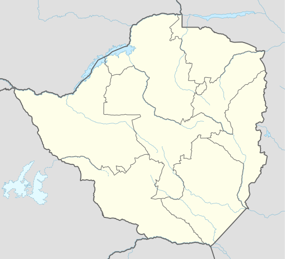 GWE Location of the airport in Zimbabwe | |||||||||||||||
| Runways | |||||||||||||||
| |||||||||||||||
Gweru-Thornhill Air Base (IATA: GWE, ICAO: FVTL) is one of the two main air bases of the Air Force of Zimbabwe located near the central city of Gweru,[4]
Thornhill Air Base is home to air force fighter squadrons and the Pilot Training School. According to Janes Defence Weekly of 6 September 2006 a US$41.5m simulation center was being established.
A full range of amenities and services, which include workshops, transport fleets, equipment depots, and accommodation, sporting and entertainment facilities, support the base.
The Gweru Thornhill VOR-DME (Ident: VTL) and non-directional beacons (Idents: TL and TI) are located on the field.[5][6]
It is home to these squadrons:
- No. 2 Squadron (Cobra) - for advanced jet training and close air support. Operates 12 K-8s.
- No. 4 Squadron (Hornet) - equipped with Cessna FTB337G and O-2A
- No. 5 Squadron (Arrow) - interceptor/fighter role with Chengdu F-7 II/IIN and Guizhou FT-7BZ.
- No. 6 Squadron (Tiger) - with SF-260M, SF-260TP and SF-260W
See also
 Zimbabwe portal
 Aviation portal
- Transport in Zimbabwe
- List of airports in Zimbabwe
References
- ↑ Airport information for FVTL at World Aero Data. Data current as of October 2006.
- ↑ Airport information for FVTL at Great Circle Mapper.
- ↑ Google Maps - Gweru-Thornhill A.B.
- ↑ McCrea, Barbara; Tony Pinchuck (2000). The Rough Guide to Zimbabwe. Rough Guides. p. 106. ISBN 1-85828-532-1.
- ↑ TL NDB
- ↑ VTL VOR
External links
This article is issued from Wikipedia - version of the 12/4/2016. The text is available under the Creative Commons Attribution/Share Alike but additional terms may apply for the media files.