Gurleyville Historic District
|
Gurleyville Historic District | |
 | |
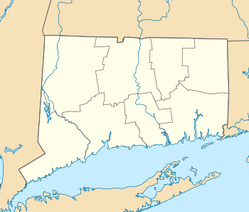  | |
| Nearest city | Mansfield, Connecticut |
|---|---|
| Coordinates | 41°48′47″N 72°13′21″W / 41.81306°N 72.22250°WCoordinates: 41°48′47″N 72°13′21″W / 41.81306°N 72.22250°W |
| Architect | Fitch,Edwin |
| Architectural style | Italianate |
| NRHP Reference # | 75001933[1] |
| Added to NRHP | December 30, 1975 |
Gurleyville Historic District is a historic district located in the town of Mansfield, Connecticut, in Tolland County. It was listed on the National Register of Historic Places in 1975.[1]
The district represents a small rural village that grew up along the Fenton River at the intersection of two main roads. Industrial features in the historic district include a grist mill and dam on the river that were constructed beginning in 1749 and modified in later years, foundations and other ruins of a small 19th-century textile mill known as Royce Silk Mill, and the foundation of a saw mill dating from 1724. There are roughly one dozen historic homes, as well as several buildings built for commercial purposes in the 19th century that are now used as residences. Meadowland surrounding the village is included in the district to preserve the village in relation to its historical agricultural setting.[2]
Connecticut Governor Wilbur Cross was a native of Gurleyville.[2]
See also
References
- 1 2 National Park Service (2009-03-13). "National Register Information System". National Register of Historic Places. National Park Service.
- 1 2 "National Register of Historic Places Inventory/Nomination: Gurleyville Historic District" (PDF). National Park Service. and accompanying photos
| Topics | |
|---|---|
| Lists by states |
|
| Lists by insular areas | |
| Lists by associated states | |
| Other areas | |
| |