Guitrancourt
| Guitrancourt | ||
|---|---|---|
|
Town hall | ||
| ||
 Guitrancourt | ||
|
Location within Île-de-France region 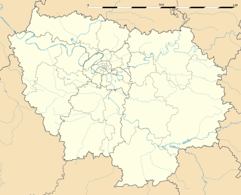 Guitrancourt | ||
| Coordinates: 49°00′34″N 1°46′40″E / 49.0094°N 1.7778°ECoordinates: 49°00′34″N 1°46′40″E / 49.0094°N 1.7778°E | ||
| Country | France | |
| Region | Île-de-France | |
| Department | Yvelines | |
| Arrondissement | Mantes-la-Jolie | |
| Canton | Limay | |
| Government | ||
| • Mayor (2001–2008) | Patrick Daugé | |
| Area1 | 7.32 km2 (2.83 sq mi) | |
| Population (2006)2 | 627 | |
| • Density | 86/km2 (220/sq mi) | |
| Time zone | CET (UTC+1) | |
| • Summer (DST) | CEST (UTC+2) | |
| INSEE/Postal code | 78296 / 78440 | |
| Elevation |
41–192 m (135–630 ft) (avg. 161 m or 528 ft) | |
|
1 French Land Register data, which excludes lakes, ponds, glaciers > 1 km² (0.386 sq mi or 247 acres) and river estuaries. 2 Population without double counting: residents of multiple communes (e.g., students and military personnel) only counted once. | ||


Guitrancourt is a commune in the Yvelines department in the Île-de-France region in north-central France.
See also
References
| Wikimedia Commons has media related to Guitrancourt. |
This article is issued from Wikipedia - version of the 2/17/2015. The text is available under the Creative Commons Attribution/Share Alike but additional terms may apply for the media files.