Grunwald, Warmian-Masurian Voivodeship
| Grunwald | |
|---|---|
| Village | |
 Grunwald | |
| Coordinates: 53°29′9″N 20°5′31″E / 53.48583°N 20.09194°E | |
| Country |
|
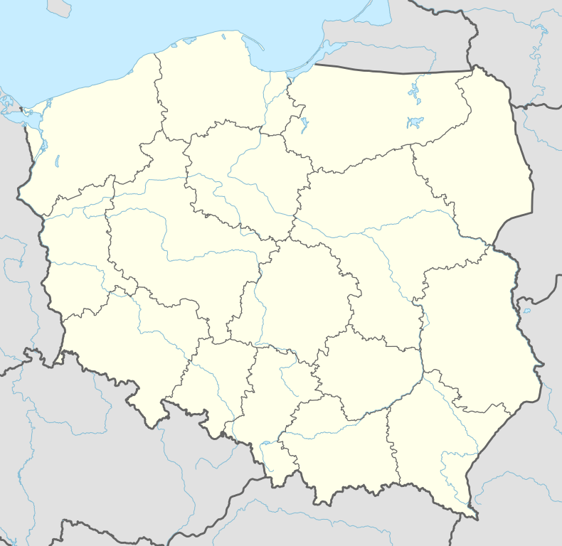
| Voivodeship | Warmian-Masurian |
| County | Ostróda |
| Gmina | Grunwald |
| Population | 800 |
Grunwald [ˈɡrunvalt] (German: Grünfelde, green field) is a village in the administrative district of Gmina Grunwald, within Ostróda County, Warmian-Masurian Voivodeship, in northern Poland.[1] It lies approximately 26 kilometres (16 mi) south of Ostróda and 43 km (27 mi) south-west of the regional capital Olsztyn. The village has a population of 800.
After the Battle of Grunwald (also known as Battle of Tannenberg (1410)), the King of Poland, Jogaila, intended to erect a chapel on the battlefield near Grünfelde[2] at "loco conflictus nostri ... dicto Grunenvelt". As he did win the battle, but not the war, the battle site remained under the control of the Teutonic Order, and they built a chapel dedicated to Mary instead. The chronicler Longinus later wrongly reported the name as Grunwald (which would mean green wood in German), and that name was used in Polish historiography. In the Lithuanian historiography the battle is known as Žalgirio mūšis or Battle of Žalgiris.
In 1945, Grünfelde (German name) was taken over by Poland. A museum and memorial site are located in the fields where the battle was fought, roughly in the middle of a triangle, with Stębark (Tannenberg) and Łodwigowo (Ludwigsdorf).
References
- ↑ "Central Statistical Office (GUS) - TERYT (National Register of Territorial Land Apportionment Journal)" (in Polish). 2008-06-01.
- ↑ On 16 September ... the Polish King made his intentions clear in a letter to the bishop of Pomesania to have a Brigittine cloister and church built on the battlefield at Grünfelde, literally in loco conflictus nostri, quem cum Cruciferis de Prusia habuimus, dicto Grunenvelt. - Sven Ekdahl : The Battle of Tannenberg-Grunwald-Žalgiris (1410) as reflected in Twentieth-Century monuments, S. 175ff, in: Victor Mallia-Milanes, Malcolm Barber et al.: The Military Orders Volume 3: History and Heritage, Ashgate Publishing, Ltd., 2008 ISBN 0-7546-6290-X

Coordinates: 53°29′9″N 20°5′31″E / 53.48583°N 20.09194°E