Marton, Blackpool
| Marton | |
|---|---|
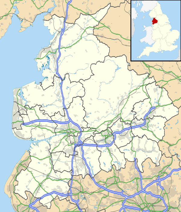 Marton Location in Lancashire | |
| Coordinates: 53°47′50″N 3°01′08″W / 53.797305°N 3.018837°WCoordinates: 53°47′50″N 3°01′08″W / 53.797305°N 3.018837°W | |
| Country | United Kingdom |
| County | Lancashire |
Marton is a settlement on the coastal plain of the Fylde in Lancashire, England, most of which is now part of the seaside town of Blackpool. Marton, which consisted of Great Marton, Little Marton, Marton Fold and The Peel, was originally part of the parish of Poulton-le-Fylde, before the development of Blackpool as a resort.
History
Great Marton and Little Marton were collectively listed in the Domesday Book of 1086 as Meretun.[1] The name usually means "farmstead by a pool", derived from the Old English words mere and tūn.[2] Its area was estimated in that survey to be six carucates of arable land.[3]
By no later than the end of the 11th century, St Chad's Church had been built in the nearby town of Poulton-le-Fylde and became the parish church for the area following the Reformation in the 16th century.[4] Marton residents travelled 5 miles (8.0 km) to worship at St Chad's, a journey that was difficult in winter. Around 1625, they petitioned to become a separate parish from Poulton-le-Fylde, with Layton and Blackpool.[5] It was not until 1800 that their request was granted and the Church of St Paul was built in Great Marton. Originally a chapel of Poulton-le-Fylde, the church was consecrated in 1804. It later became a parish church. In 1857, the church as extended to accommodate Marton's growing population, and a tower was added.[6]
In 1894, the hamlet of Great Marton was incorporated into Blackpool and parts of Little Marton into St-Anne's-on-Sea.[7]
Governance
Marton is an electoral ward in the borough constituency of Blackpool South. Since 1997, Blackpool South has been represented at parliament by Labour MP Gordon Marsden.[8]
Geography

The pool referred to by Marton's name is Marton Mere. The glacial freshwater lake was once approximately 6 miles (9.7 km) long and 1 mile (1.6 km) wide.[9][10] It was gradually drained throughout the 18th century to allow land to be reclaimed for agriculture.[11] The mere is now part of Marton Mere Local Nature Reserve, which has been designated a Site of Special Scientific Interest.[12]
The other prominent geographical feature of the area is Marton Moss. It is approximately 6 miles (9.7 km) long and 1.5 miles (2.4 km) wide.[13] The structure of the moss is peat, on top of a layer of clay, in which is embedded whole (and fragments of) tree trunks. These trunks indicate that the area was once covered in dense woodland.[13]
Landmarks
The original Church of St Paul was replaced by the current church, built 1908–09.[14] It is situated a few metres from the original site, on Whitegate Drive, and was designed by F. Freeman of Bolton.[15] It is constructed of red and yellow sandstone, with more recent additions in brick.[15]
Little Marton Mill, situated close to the M55 motorway, was built in 1838 on the site of a previous mill.[16] It was a working gristmill, grinding corn until 1928.[16] It is the only remaining mill in Blackpool.[17]
Education
The first school in Marton was Baines' Free School, built in 1717, financed by James Baines who also built schools in Hardhorn-cum-Newton and Thornton.[18] The school still exists, as Baines' Endowed Church of England Primary School. St Nicholas Church of England Primary School was founded in the 1830, Our Lady of the Assumption Roman Catholic Primary was opened in 1953 and Marton Primary School was founded in 1991. Marton also has two secondary schools, Highfield Leadership Academy and St George's School.
References
- Footnotes
- ↑ "Great Marton, Little Marton, Poulton-le-Fylde, Lancashire, Yorkshire", Domesday Book, The National Archives, 1086, retrieved 7 September 2010
- ↑ Mills (1998), p. 236
- ↑ Porter (1876), p. 285
- ↑ Storey (2001), p. 17
- ↑ Porter (1876), p. 287
- ↑ Porter (1876), p. 288
- ↑ Farrer & Brownbill (1912), pp. 239–242
- ↑ "Gordon Marsden", parliament.co.uk, Parliament of the United Kingdom, retrieved 30 May 2011
- ↑ Hale, Coney & Pick (2005), p. 23
- ↑ Walsh (2010), p. 2
- ↑ Clarke (1923), pp. 25–26
- ↑ Marton Mere Local Nature Reserve, Blackpool Council, retrieved 7 September 2010
- 1 2 Porter (1876), p. 124
- ↑ History of St Pauls Church Marton, St Paul's Marton, 2009, retrieved 7 September 2010
- 1 2 Hartwell & Pevsner (2009), p. 162
- 1 2 Dunkerley, Paul, Little Marton Mill, Engineering Timelines, retrieved 25 June 2011
- ↑ Lancashire County Council & Egerton Lea Consultancy (2005), p. 25
- ↑ Walsh (2010), p. 12
- Sources
- Clarke, Allen (1923). The Story of Blackpool. Blackpool & London: Palatine Books.
- Lancashire County Council and Egerton Lea Consultancy (April 2005), "Blackpool Historic Town Assessment Report" (PDF), Lancashire Historic Town Survey Programme, Lancashire County Council Environment Directorate, retrieved 25 October 2010
- Farrer, William; Brownbill, J., eds. (1912), "Townships — Marton", A History of the County of Lancaster: Volume 7, Constable, OCLC 59626695
- Hale, W. G.; Coney, Audrey; Pick, Bill (2005). Martin Mere: Lancashire's Lost Lake. Liverpool University Press. ISBN 0-85323-749-2.
- Hartwell, Clare; Pevsner, Nikolaus (2009) [1969]. Lancashire: North. New Haven and London: Yale University Press. ISBN 0-300-12667-0.
- Mills, A. D. (1998). Dictionary of English Place-Names. Oxford University Press. ISBN 0-19-280074-4.
- Porter, John (1876). History of the Fylde of Lancashire. W. Porter. OCLC 12931605.
- Storey, Christine (2001). Poulton-le-Fylde. Stroud: Tempus Publishing. ISBN 0-7524-2442-4.
- Walsh, Philip (2010). Marton: A Green and a Pleasant Land. Real Lancashire Books. ISBN 0-9565298-0-1.