Great Coum
| Great Coum | |
|---|---|
 Great Coum | |
| Highest point | |
| Elevation | 687 m (2,254 ft) |
| Prominence | 221 m (725 ft) |
| Parent peak | Whernside |
| Listing | Marilyn, Hewitt, Nuttall |
| Coordinates | 54°14′48″N 2°27′39″W / 54.2467°N 2.4607°WCoordinates: 54°14′48″N 2°27′39″W / 54.2467°N 2.4607°W |
| Geography | |
| Location |
|
| OS grid | SD700835 |
Great Coum is a hill in the Yorkshire Dales. Despite this it actually lies in Cumbria.
Its neighbours include Crag Hill, Green Hill and Gragareth.
It can be ascended from Dent to the north, or a considerable head start can be achieved by taking the minor road to White Shaw Moss (SD723821) and starting from there, a trick which leaves the walker with about two and a half miles to walk but only seven hundred feet to climb.
Marilyns of Northern England | ||
|---|---|---|
| 1. Northumberland | 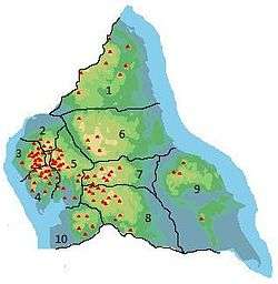 | |
| 2. Northern Lakeland | ||
| 3. Western Lakeland | ||
| 4. Central and Southern Lakeland | ||
| 5. Eastern Lakeland | ||
| 6. North Pennines and Durham | ||
| 7. Northern Yorkshire Dales | ||
| 8. Southern Yorkshire Dales | ||
| 9. North York Moors to the Humber | ||
| 10. Forest of Bowland | ||
This article is issued from Wikipedia - version of the 9/3/2016. The text is available under the Creative Commons Attribution/Share Alike but additional terms may apply for the media files.