Grade II* listed buildings in the West Midlands

The West Midlands shown in England
There are over 20,000 Grade II* listed buildings in England. This page is a list of these buildings in the county of West Midlands, by district.
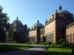
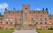
Birmingham

.jpg)

.jpg)
.jpg)


.jpg)
.jpg)

.jpg)


.jpg)
.jpg)


.jpg)


.jpg)
.jpg)
.jpg)


.jpg)


.jpg)


.jpg)
.jpg)


%2C_Kings_Norton.jpg)

.jpg)

.jpg)


.jpg)
.jpg)

.jpg)

.jpg)

City of Wolverhampton


Coventry
Main article: Grade II* listed buildings in Coventry
Dudley


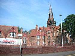
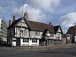
Sandwell
_(2).jpg)
.jpg)
.jpg)
.jpg)

.jpg)
.jpg)
.jpg)
Solihull


Walsall
| Name | Location | Type | Completed [note 1] | Date designated | Grid ref.[note 2] Geo-coordinates |
Entry number [note 3] | Image |
|---|---|---|---|---|---|---|---|
| Church of St Mary and Attached Presbytery | Walsall | Church | 1825 | 31 July 1986 | SP0121698031 52°34′48″N 1°59′01″W / 52.58009°N 1.983487°W |
1077171 |  |
| Church of St Mary the Virgin | Brownhills | Church | 14th century | 11 August 1951 | SK0601400735 52°36′16″N 1°54′45″W / 52.604368°N 1.912632°W |
1076396 |  |
| Church of St Matthew | Walsall | Church | Late 15th century | 19 November 1951 | SP0163998293 52°34′57″N 1°58′38″W / 52.582445°N 1.977244°W |
1116151 |  |
| Gatehouse and Curtain Walls at Rushall Hall | Rushall | Gate | circa 1300 | 19 October 1951 | SP0254399865 52°35′48″N 1°57′50″W / 52.596573°N 1.96389°W |
1320329 | 
|
| Great Barr Hall and Chapel | Great Barr | House | 1777 | 15 June 1971 | SP0546595385 52°33′23″N 1°55′15″W / 52.556278°N 1.920825°W |
1076395 |
|
| Guildhall | Walsall | Guildhall | 1867 | 13 September 1982 | SP0152898378 52°35′00″N 1°58′44″W / 52.583209°N 1.978881°W |
1076399 |  |
See also
Category:Grade II* listed buildings in the West Midlands
Notes
- 1 2 3 4 5 6 The date given is the date used by Historic England as significant for the initial building or that of an important part in the structure's description.
- 1 2 3 4 5 6 Sometimes known as OSGB36, the grid reference is based on the British national grid reference system used by the Ordnance Survey.
- 1 2 3 4 5 6 The "List Entry Number" is a unique number assigned to each listed building and scheduled monument by Historic England.
References
English Heritage Images of England
External links
![]() Media related to Grade II* listed buildings in the West Midlands at Wikimedia Commons
Media related to Grade II* listed buildings in the West Midlands at Wikimedia Commons
This article is issued from Wikipedia - version of the 12/2/2016. The text is available under the Creative Commons Attribution/Share Alike but additional terms may apply for the media files.