Gilgit Airport
| Gilgit Airport | |||||||||||
|---|---|---|---|---|---|---|---|---|---|---|---|
 | |||||||||||
| IATA: GIL – ICAO: OPGT | |||||||||||
| Summary | |||||||||||
| Airport type | Public | ||||||||||
| Operator | Pakistan Civil Aviation Authority | ||||||||||
| Serves | Gilgit, Gilgit-Baltistan, Disputed Area | ||||||||||
| Elevation AMSL | 4,796 ft / 1,462 m | ||||||||||
| Coordinates | Coordinates: 35°55′07″N 074°20′01″E / 35.91861°N 74.33361°E | ||||||||||
| Map | |||||||||||
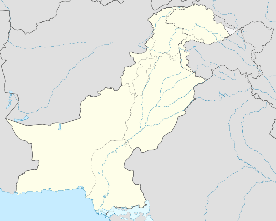 GIL Location of airport in disputed area between India and Pakistan | |||||||||||
| Runways | |||||||||||
| |||||||||||
Gilgit Airport (IATA: GIL, ICAO: OPGT) is a small domestic airport situated 1.25 nm (2.3 km) east of Gilgit,[1] a city in the Gilgit-Baltistan region of Pakistan. The city of Gilgit is one of the two major hubs for all mountaineering expeditions in the northern areas of Pakistan. Many tourists choose to travel to Gilgit by air since road travel between Islamabad and Gilgit by the Karakoram Highway takes nearly 15 hours in car and 24 hours in bus, whereas air travel takes only about an hour.
Structure


Because of its short runway located at the edge of a slope, even Boeing 737s and similar-sized jet aircraft cannot operate at Gilgit Airport. Currently Pakistan International Airlines operates ATR 42 aircraft on the Gilgit-Islamabad route. Other aircraft that operate at the airport include the military Lockheed C-130 Hercules. In the past, Fokker F-27 Friendship was being used but later it was replaced by ATR 42.
A new terminal was constructed in 2014 which was inaugurated by Prime Minister Nawaz Sharif. This terminal included modern check-in facilities as well as different arrival and departure sections.
This airport when planned, composed of the land twice as big as it is now. But due to excessive water leakage from the ground, the land was used to create a public park in the vicinity of this airport. The park was named as CAA PARK or City Park Gilgit. The leakage was caused due to excessive bombings on this area during War Period.
Airlines and destinations
| Airlines | Destinations |
|---|---|
| Pakistan International Airlines | Islamabad |
Accidents
- On August 25, 1989, a Pakistan International Airlines Fokker F27 carrying 54 people disappeared after leaving Gilgit in northern Pakistan. The wreckage has not been found.[4]
See also
- List of airports in Pakistan
- Airlines of Pakistan
- Transport in Pakistan
- Pakistan Civil Aviation Authority
References
- 1 2 AIP Pakistan: OPGT – Gilgit
- ↑ Airport information for OPGT at World Aero Data. Data current as of October 2006.Source: DAFIF.
- ↑ Airport information for GIL at Great Circle Mapper. Source: DAFIF (effective October 2006).
- ↑ Aircraft accident Fokker F27 Friendship AP-BBF