Gerlachovská veža
| Gerlachovská veža | |
|---|---|
 Gerlachovská veža labelled as one of the peaks | |
| Highest point | |
| Elevation | 2,642[1] m (8,668 ft) |
| Coordinates | 49°10′08″N 20°07′49″E / 49.16889°N 20.13028°ECoordinates: 49°10′08″N 20°07′49″E / 49.16889°N 20.13028°E |
| Geography | |
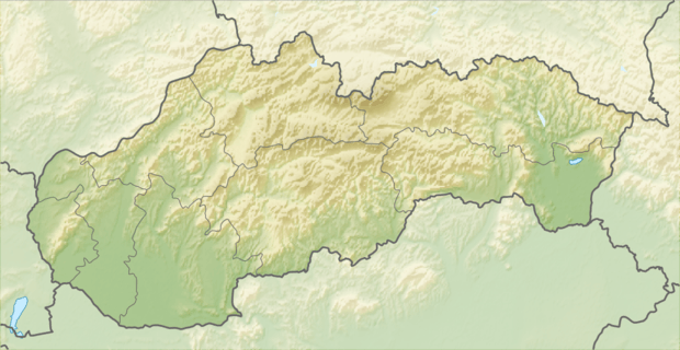 Gerlachovská veža Location in Slovakia | |
| Location | Poprad, Prešov, Slovakia |
| Parent range | High Tatras |
| Climbing | |
| First ascent | 5 August 1905 by G. Horváth and Johann Hunsdorfer Senior[2] |
| Easiest route | Scramble[3] |
Gerlachovská veža is a mountain in the Northern ridge Zadni Gerlach in the main ridge of the Slovak High Tatras. From Veľká Litvorová veža it is separated by Nižná Gerlachovská lávka, and from the Malá Litvorová veža the mountain is bounded by Vyšná Lučivnianska lávka. At the top of the mountain there are no marked trails for tourists, only Taterniks[4] are able to gain access to the top of the peak.
In the direction of the Velická Valley, the mountain falls to the ridge. Towards to the Kačacia Valley the mountain forms a spectacular rib shaped rock when joining the valley.[5]
References
- ↑ "Najwyższe szczyty Tatr". Kamilfilipowski.blog.pl. Retrieved 22 November 2014.
- ↑ Turnie I Skaly Tatr Wysokich. Books.google.co.uk. Retrieved 22 November 2014.
- ↑ "Korona Tatr Wysokich :: Orca Forum". Planetagor.pl. Retrieved 22 November 2014.
- ↑ "Nieznane Tatry - Witold Henryk Paryski: człowiek - instytucja. W stulecie urodzin największego tatrologa". Nieznanetatry.pl. Retrieved 22 November 2014.
- ↑ Thomas Schabacher. "Panorama Photo". Panorama-photo.net. Retrieved 22 November 2014.
This article is issued from Wikipedia - version of the 11/6/2016. The text is available under the Creative Commons Attribution/Share Alike but additional terms may apply for the media files.