Georgia, New Jersey
| Georgia, New Jersey | |
|---|---|
| Unincorporated community | |
|
Georgia Road Schoolhouse | |
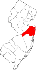
 Georgia, New Jersey 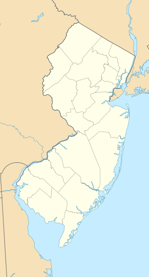 Georgia, New Jersey  Georgia, New Jersey Location of Georgia in Monmouth County Inset: Location of county within the state of New Jersey | |
| Coordinates: 40°11′14″N 74°17′05″W / 40.18722°N 74.28472°WCoordinates: 40°11′14″N 74°17′05″W / 40.18722°N 74.28472°W | |
| Country |
|
| State |
|
| County | Monmouth |
| Township | Freehold |
| Elevation[1] | 125 ft (38 m) |
| Time zone | Eastern (EST) (UTC-5) |
| • Summer (DST) | EDT (UTC-4) |
| Area code(s) | 732/848 |
| GNIS feature ID | 876589[1] |

Georgia is an unincorporated community located within Freehold Township in Monmouth County, New Jersey, United States.[2] Exit 22 on Interstate 195 provides access to Georgia via Jackson Mills Road (County Route 23). There is also a road in the area called Georgia Road (CR 53), leading to Turkey Swamp Park. Georgia sits at the northern reaches of the Pine Barrens and numerous housing developments are located north and east of the settlement.[3]
References
- 1 2 "Georgia". Geographic Names Information System. United States Geological Survey.
- ↑ Locality Search, State of New Jersey. Accessed February 24, 2015.
- ↑ Google (April 26, 2016). "Aerial view of Georgia" (Map). Google Maps. Google. Retrieved April 26, 2016.
This article is issued from Wikipedia - version of the 6/8/2016. The text is available under the Creative Commons Attribution/Share Alike but additional terms may apply for the media files.