Gangoh
| Gangoh | |
|---|---|
| city | |
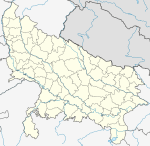 Gangoh Location in Uttar Pradesh, India | |
| Coordinates: 29°46′52″N 77°15′47″E / 29.781°N 77.263°ECoordinates: 29°46′52″N 77°15′47″E / 29.781°N 77.263°E | |
| Country |
|
| State | Uttar Pradesh |
| District | Saharanpur |
| Government | |
| • Body | municipality |
| Elevation | 292 m (958 ft) |
| Languages | |
| • Official | Hindi |
| Time zone | IST (UTC+5:30) |
| PIN | 247 031 |
| Vehicle registration | UP 11,UP 12,HR 05 |
Gangoh (Hindi: गंगोह, Urdu: گنگوہ) is a town and a municipal board in Saharanpur district in the state of Uttar Pradesh, India.
Demographics
As of 2001 India census,[1] Gangoh had a population of 53,947. Males constitute 55% of the population and females 45%. Gangoh has an average literacy rate of 60%, slightly higher than the national average of 59.5%: male literacy is 77%, and female literacy is 42%. In Gangoh, 13% of the population is under 6 years of age. The people are predominantly Gurjars. There are 52 villages of the Batar clan of Gurjars near Gangoh.Islam is the largest religion In gangoh ( 56% ), with remaining Hindus,Sikhs and Christians.
History

According to the 1911 British publication The Imperial Gazetteer of India:
The town [Gangoh] consists of an old and new quarter, the former founded by a legendary hero. Raja Gang, from whom its name is derived, and the latter by the famous saint Shaikh Abdul Kuddus, who gives his title to the western suburb, where his mausoleum stands, built by Humayun in 1537 and Molana Rasheed Ahmad Gangohi which was co-founder of madrasa darul-aloom Deuband and participated in war against East India Company under the flag of Haji Imdadullah Muhajir Makki. During the Mutiny Gangoh was frequently threatened by the rebel Gurjars (Gujjars) under the self-styled Raja Fathua; but Mr. H. D. Robertson and Lieutenant Boisragon attacked and utterly defeated them towards the end of June, 1857. There are three old mosques, two of which were built by Akbar and Jahangir, besides a school and a dispensary. The town is liable to be flooded from a large swamp south of the site, but a scheme has been prepared to drain this. The streets are paved and most of them have brickwork drains. Gangoh is administered under Act XX of 1856, the income raised being about Rs. 3,000 a year. It is the cleanest and best kept of all the towns under Act XX in the District.[2]— Henry Frowde
References
- ↑ "Census of India 2001: Data from the 2001 Census, including cities, villages and towns (Provisional)". Census Commission of India. Archived from the original on 2004-06-16. Retrieved 2008-11-01.
- ↑ The Imperial Gazetteer of India, Vol. XII. Published under the authority of the Secretary of State for India in Council. Oxford, Clarendon Press, 1908.