Ganga Choti
| Ganga Choti | |
|---|---|
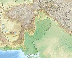 Ganga Choti Location within Pakistan | |
| Highest point | |
| Elevation | 3,044 m (9,987 ft) |
| Coordinates | 34°04′30″N 73°47′20″E / 34.07500°N 73.78889°ECoordinates: 34°04′30″N 73°47′20″E / 34.07500°N 73.78889°E |
| Geography | |
| Location | Bagh District, Azad Kashmir, Pakistan |
| Parent range | Pir Panjal |
Ganga Choti is a scenic peak near the towns of Sudhan Gali and Bani Minhasan in Bagh District, Azad Kashmir, Pakistan.[1] It is situated in the Pir Panjal Range and is the end point of the Panjal Mastan National Park which is well known in Azad Kashmir for its scenic landscapes. This national park is spread from Pir Kanthi to Ganga Choti and passes through the villages of Khawaja, Jabbarh Ratnoi and Kotla.
Ganga Choti is situated along and linked with Inter district road between district Bagh and district Muzzaffarabad.
References
- ↑ "Photo of Bani Minhasan-GANGA CHOTI". Panoramio. Retrieved 8 July 2013.
This article is issued from Wikipedia - version of the 10/15/2016. The text is available under the Creative Commons Attribution/Share Alike but additional terms may apply for the media files.