Fortanete
| Fortanete | |
|---|---|
| Municipality | |
.jpg) | |
 | |
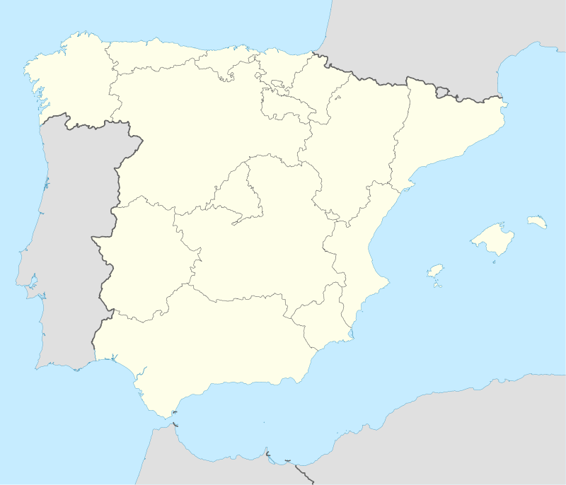 Fortanete Location in Spain | |
| Coordinates: 40°30′21″N 0°31′15″W / 40.50583°N 0.52083°WCoordinates: 40°30′21″N 0°31′15″W / 40.50583°N 0.52083°W | |
| Country |
|
| Autonomous community |
|
| Province | Teruel |
| Comarca | Maestrazgo |
| Judicial district | Teruel |
| Founded | 1169 |
| Government | |
| • Alcaldesa | José Luis Monserrate Gil (2007) (PSOE) |
| Area | |
| • Total | 168.21 km2 (64.95 sq mi) |
| Elevation | 1,353 m (4,439 ft) |
| Population (2008) | |
| • Total | 240 |
| • Density | 1.4/km2 (3.7/sq mi) |
| Demonym(s) | Fortanetino, -a |
| Time zone | CET (UTC+1) |
| • Summer (DST) | CEST (UTC+2) |
| Postal code | 44143 |
| Dialing code | 978 |
| Website | Official website |
Fortanete is a municipality located in the province of Teruel, Aragon, Spain. According to the 2004 census (INE), the municipality has a population of 202 inhabitants.
Demographics
Population trend since 1842.

Photo gallery
-

Town hall in Fortanete
-

Belfry
External links
- Fortanete on Diputación de Teruel
- Interview with Lionel Martorell, one of the last transhumant pastors in Eastern Spain
This article is issued from Wikipedia - version of the 1/25/2016. The text is available under the Creative Commons Attribution/Share Alike but additional terms may apply for the media files.