Fenoughil
| Fenoughil ﻓﻨﻮﻏﻴﻞ | |
|---|---|
| Commune | |
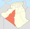
_location_map.svg.png) Location of Fenoughil commune within Adrar Province | |
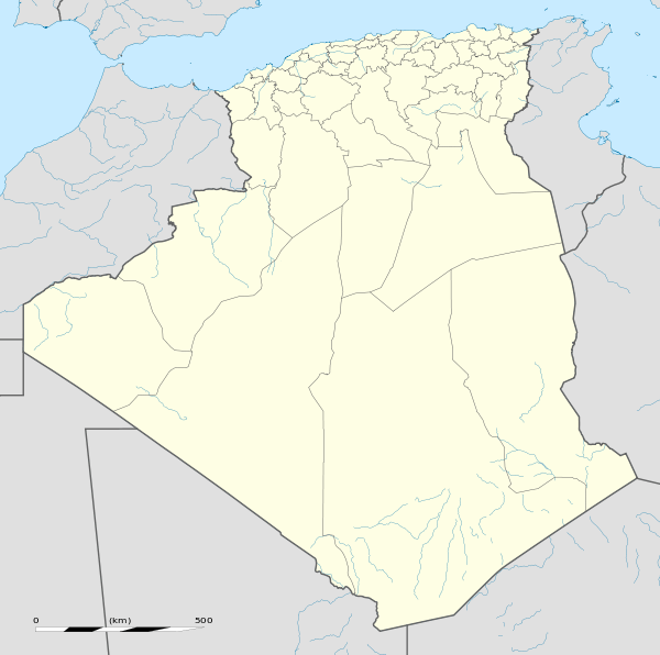 Fenoughil Location of Fenoughil within Algeria | |
| Coordinates: 28°35′21″N 0°8′59″W / 28.58917°N 0.14972°WCoordinates: 28°35′21″N 0°8′59″W / 28.58917°N 0.14972°W | |
| Country | Algeria |
| Province | Adrar |
| District | Fenoughil |
| Elevation | 220 m (720 ft) |
| Population (2008)[1] | |
| • Total | 11,793 |
| Time zone | CET (UTC+1) |
Fenoughil (Arabic: ﻓﻨﻮﻏﻴﻞ) is a commune, and the capital of Fenoughil District, Adrar Province, in south-central Algeria. According to the 2008 census it has a population of 11,793,[1] up from 9,962 in 1998,[2] with an annual growth rate of 1.7%.[1]
Geography
The villages in Fenoughil commune, from Tasfaout in the north to Bour Sidi Youssef in the south, are all built around the northern and eastern side of oases at an elevation of about 220 metres (720 ft). These oases form part of a long longer string of oases known as the Tuat region, running from north to south through Adrar Province. Beyond the oases, the sandy Erg Chech desert lies to the west and the rocky Tademaït plateau lies to the east.
Climate
Fenoughil has a hot desert climate (Köppen climate classification BWh), with extremely hot summers and mild winters, and very little precipitation throughout the year.
Transportation
The main road in Fenoughil commune is the N6 national highway, which runs through the commune from north to south, and connects to Adrar in the north and Reggane in the south. The villages of Ben Henni, El Mansour and Bour Sidi Youssef lie on the highway, and a local road to the west connect to the villages of Allouchia, Albani and Tasfaout.
Education
5.7% of the population has a tertiary education, and another 16.3% has completed secondary education.[3] The overall literacy rate is 80.5%, and is 89.1% among males and 71.5% among females.[4]
Localities
As of 1984, the commune was composed of 11 localities:[5]
- Zaouit Sidi Abdelkade
- Tasfaout
- Albani
- Allouchia
- Oudgha
- Ben Henni
- Azzi
- El Mansour
- Makra
- Ouled Moulay Lahssen
- Berchid
- Ouled Moulay Omar
- Kasbet Lahrar
- Bour Sidi Youssef
- Baameur
References
- 1 2 3 "Population: Wilaya d'Adrar" (PDF) (in French). Office National des Statistiques Algérie. Retrieved 1 July 2013.
- ↑ "Algeria Communes". Statoids. Retrieved 8 March 2013.
- ↑ "Structure relative de la population résidente des ménages ordinaires et collectifs âgée de 6 ans et plus selon le niveau d'instruction et la commune de résidence." (PDF) (in French). Office National des Statistiques Algérie. Retrieved 1 July 2013.
- ↑ "Taux d'analphabétisme et taux d'alphabétisation de la population âgée de 15 ans et plus, selon le sexe et la commune de résidence ." (PDF) (in French). Office National des Statistiques Algérie. Retrieved 1 July 2013.
- ↑ "Décret n° 84-365, fixant la composition, la consistance et les limites territoriale des communes. Wilaya d'Adrar" (PDF) (in French). Journal officiel de la République Algérienne,. 19 December 1984. p. 1472. Archived from the original (PDF) on 2 March 2013 or before. Retrieved 1 July 2013. Check date values in:
|archive-date=(help)
 |
Béchar Tabelbala (Béchar) |
Adrar Tamentit |
Ghardaïa Aougrout |
|
| Tindouf Bou Bernous (Tindouf) |
|
In Salah (Tamanrasset) | ||
| ||||
| | ||||
| Chenachène (Tindouf) | Tamest | Timokten Tamanrasset |