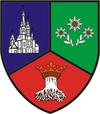
Feldioara
| Feldioara | |
|---|---|
| Commune | |
 | |
 | |
 Feldioara | |
| Coordinates: 45°49′0″N 25°35′30″E / 45.81667°N 25.59167°E | |
| Country |
|
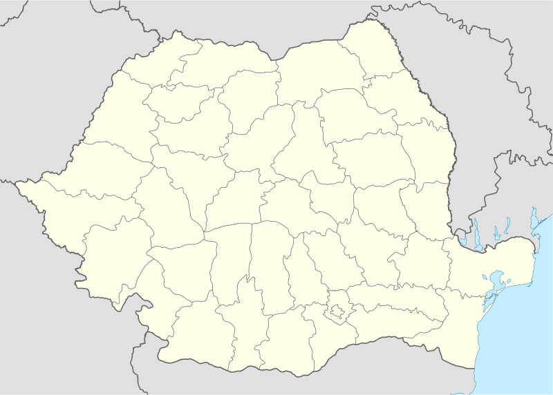
| County | Brașov County |
| Population (2011)[1] | 5,685 |
| Time zone | EET (UTC+2) |
| • Summer (DST) | EEST (UTC+3) |
Feldioara (German: ![]() Marienburg; Hungarian: Földvár or Barcaföldvár) is a Romanian commune located in Transylvania, very close to Brașov (about 10 miles or 15 kilometers). It is composed of three villages: Colonia Reconstrucţia (Bohntelep), Feldioara and Rotbav (Rothbach; Szászveresmart).
Marienburg; Hungarian: Földvár or Barcaföldvár) is a Romanian commune located in Transylvania, very close to Brașov (about 10 miles or 15 kilometers). It is composed of three villages: Colonia Reconstrucţia (Bohntelep), Feldioara and Rotbav (Rothbach; Szászveresmart).
At the 2011 census, 88.8% of inhabitants were Romanians, 6.9% Hungarians and 3.5% Roma.
It has a medieval fortress long believed to have been built by the Teutonic Knights. However, more recent studies show that the Fortress in Feldioara was actually constructed by the local community. The name of the village comes from the Hungarian word földvár, which means "the clay fortress". The ruins of the fortress can still be seen today. The German name Marienburg means "fortress of the Virgin Mary".
-

Feldioara fortress
-

Feldioara fortified church
-

Rotbav fortified church
History
Between 1211–1225, Feldioara was the Teutonic Knights’ quarter, which will later become a peasant stronghold.[2] A 1439 document states that the civilians of Feldioara built this fortress “with great financial and physical expenses” in order to protect their families and possessions. The fortress withstood the Turkish invasion of 1421, but it was severely damaged by a second invasion in 1432. It took until 1457 to restore it.
During the battles of 1612, the armies led by Prince Gabriel Báthori conquered the fortress, and in September the Brașovian armies had Feldioara under siege for three days. On September 16, 1612 a battle was fought between the Hungarians, led by Báthori, and the Brașovians, led by mayor Michael Weiss. The Brașovians lost the fight, and Michael Weiss was killed on the battlefield.
Afterwards, the fortress was used as a granary until 1838, when a major earthquake damaged it. After this event, even the fortress guardian left the building. Since then the fortress has lain in ruins.
See also
- List of fortified churches in Transylvania
- Villages with fortified churches in Transylvania
- List of castles in Romania
- Rotbav Archaeological Site
References
- ↑ Romanian census data, 2011; retrieved on March 17, 2012
- ↑ Ol' man river: geo-archaeological aspects of rivers and river plains, Morgan de Dapper et al, Ghent, Belgium: Academia Press in cooperation with Ghent University, Dept. of Archaeology and Ancient History of Europe, 2009, ISBN 978-90-382-1404-7, ISBN 90-382-1404-9
Coordinates: 45°49′00″N 25°35′30″E / 45.81667°N 25.59167°E