Febres (Cantanhede)
| Febres | |
|---|---|
| Parish | |
 Febres | |
| Coordinates: 40°24′00″N 8°37′44″W / 40.400°N 8.629°WCoordinates: 40°24′00″N 8°37′44″W / 40.400°N 8.629°W | |
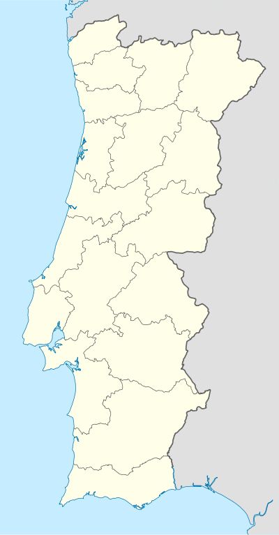
| Country | Portugal |
| Region | Centro |
| Subregion | Baixo Mondego |
| Intermunic. comm. | Região de Coimbra |
| District | Coimbra |
| Municipality | Cantanhede |
| Area | |
| • Total | 22.94 km2 (8.86 sq mi) |
| Population (2011) | |
| • Total | 3,352 |
| • Density | 150/km2 (380/sq mi) |
Febres is a civil parish in the municipality of Cantanhede, Portugal. The population in 2011 was 3,352,[1] in an area of 22.94 km².[2]
References
This article is issued from Wikipedia - version of the 1/25/2016. The text is available under the Creative Commons Attribution/Share Alike but additional terms may apply for the media files.