Falougha-Khalouat
| Falougha-Khalouat | |
|---|---|
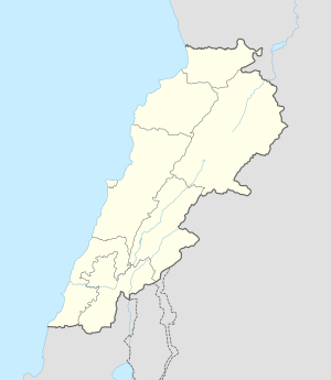 Falougha-Khalouat Location in Lebanon | |
| Coordinates: 33°50′15″N 35°44′26″E / 33.83750°N 35.74056°ECoordinates: 33°50′15″N 35°44′26″E / 33.83750°N 35.74056°E | |
| Country | Lebanon |
| Governorate | Mount Lebanon |
| District | Baabda |
| Area | |
| • Total | 1,563 ha (3,862 acres) |
| Elevation | 1,250 m (4,100 ft) |
Falougha-Khalouat (Arabic: فالوغا) is a municipality in the Baabda District of Mount Lebanon Governorate, Lebanon. The municipality consists of the villages of Falougha and Khalouat Falougha. It is 35 kilometers east of Beirut.[1] Falougha-Khalouat has an average elevation of 1,250 meters above sea level and a total land area of 1,563 hectares.[1] In 2010, Falougha had 2,368 registered voters while Khalouat Falougha had 485.[2]
There is a public school in the village with 74 students as of 2007 and a local hospital with thirty beds.[1] There are seven companies that each employ over five employees operating in Falougha.[1] Falougha has a mixed population of Druze and Christians from the Maronite, Melkite (Greek Catholic) and Greek Orthodox denominations, while Khalouat Falougha's inhabitants are entirely Druze.[2][3]
References
- 1 2 3 4 "Falougha - Khalouat". Localiban. Localiban. 2007-12-18. Retrieved 2016-02-09.
- 1 2 "Elections municipales et ikhtiariah au Mont-Liban" (pdf). Localiban. Localiban. 2010. p. 19. Retrieved 2016-02-12.
- ↑ "Druze communities in the Middle East". British Druze Society. Archived from the original on September 11, 2011.
Capital: Baabda | ||
| Towns and villages |  | |