Førre
| Førre Førresfjorden | |
|---|---|
| Village | |
|
View of the village (c. 1950) | |
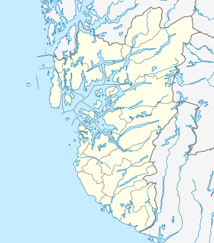 Førre 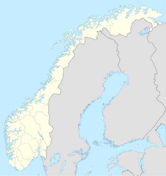 Førre Location in Rogaland county | |
| Coordinates: 59°25′27″N 05°23′04″E / 59.42417°N 5.38444°ECoordinates: 59°25′27″N 05°23′04″E / 59.42417°N 5.38444°E | |
| Country | Norway |
| Region | Western Norway |
| County | Rogaland |
| District | Haugaland |
| Municipality | Tysvær |
| Area[1] | |
| • Total | 3.6 km2 (1.4 sq mi) |
| Elevation[2] | 10 m (30 ft) |
| Population (2014)[1] | |
| • Total | 5,362 |
| • Density | 1,489/km2 (3,860/sq mi) |
| Time zone | CET (UTC+01:00) |
| • Summer (DST) | CEST (UTC+02:00) |
| Post Code | 5563 Førresfjorden |

Førre or Førresfjorden is a village in Tysvær municipality in Rogaland county, Norway. The village is located at the northern end of the Førresfjorden. A portion of the urban area of this village extends over the municipal border into neighboring Karmøy municipality. The 3.6-square-kilometre (890-acre) village has a population (2014) of 5,362 which gives the village a population density of 1,489 inhabitants per square kilometre (3,860/sq mi).[1]
The village sits along the European route E134 highway connecting it to the nearby city of Haugesund to the west and to the villages of Aksdal and Grinde to the east. Førre Church is located in this village.
References
- 1 2 3 Statistisk sentralbyrå (1 January 2014). "Urban settlements. Population and area, by municipality.".
- ↑ "Førre, Tysvær (Rogaland)" (in Norwegian). yr.no. Retrieved 2015-09-10.
This article is issued from Wikipedia - version of the 8/4/2016. The text is available under the Creative Commons Attribution/Share Alike but additional terms may apply for the media files.