Følling
| Følling | |
|---|---|
| Village | |
 Følling 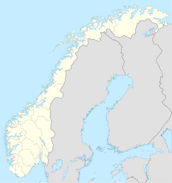 Følling Location in Nord-Trøndelag | |
| Coordinates: 64°05′59″N 11°32′27″E / 64.09972°N 11.54083°ECoordinates: 64°05′59″N 11°32′27″E / 64.09972°N 11.54083°E | |
| Country | Norway |
| Region | Trøndelag |
| County | Nord-Trøndelag |
| District | Innherred |
| Municipality | Steinkjer |
| Elevation[1] | 88 m (289 ft) |
| Time zone | CET (UTC+01:00) |
| • Summer (DST) | CEST (UTC+02:00) |
| Post Code | 7732 Steinkjer |
Følling is a village area in the municipality of Steinkjer in Nord-Trøndelag county, Norway. It is located at the southwestern end of the lake Snåsavatnet along the European route E6 highway. To the south is Vassaunet and Steinkjer (town), to the west is Vellamelen and Beitstad, to the northeast is Kvam, and to the southeast is Sunnan and Binde. This village is the location of Følling Church.
References
This article is issued from Wikipedia - version of the 8/1/2016. The text is available under the Creative Commons Attribution/Share Alike but additional terms may apply for the media files.