Escuintla
| Escuintla | |
|---|---|
| Municipality | |
|
Escuintla c.1902 | |
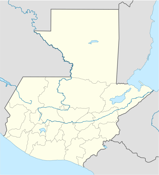 Escuintla Location in Guatemala | |
| Coordinates: 14°17′52″N 90°47′13″W / 14.29778°N 90.78694°WCoordinates: 14°17′52″N 90°47′13″W / 14.29778°N 90.78694°W | |
| Country |
|
| Department |
|
| Municipality | Escuintla |
| Government | |
| • Type | Municipal |
| • Mayor | Pedro René Escobar |
| Area | |
| • Municipality | 332 km2 (128 sq mi) |
| Elevation | 355 m (1,165 ft) |
| Population (census 2002)[1] | |
| • Municipality | 119,897 |
| • Urban | 86,678 |
| • Religions | Roman Catholicism, Evangelicalism |
| Climate | Am |

Escuintla (Spanish pronunciation: [esˈkwintla]) is a city in south central Guatemala. It is the capital of the Escuintla Department and the administrative seat of Escuintla Municipality.
In 2003 the city had a population of about 68,000 people. It is on the border of the central highlands and the Pacific coastal plain.
Economy
The city is among the more industrialized areas of the country. One of the most important agricultural products of the region is sugar cane. Other products are tobacco, seafood, and cattle. Escuintla is bathed by the waters of the Pacific, and produces about 43 percent of gross domestic product of Guatemala, is statistically the department, province or region in Mesoamerica with lower unemployment and extreme poverty, this contrasts with the economic and social reality of Guatemala
Transportation
Escuintla used to be an important stop for trains going to Puerto San José until 2007. Today, the CA-2 and CA-9 highways cross here.
Government
The Canadá Penal Farm, a prison, is in Escuintla.[2]
Sports
Juventud Escuintleca football club play their home games at the Estadio Ricardo Muñoz Gálvez. Most recently they have again been playing in the second tier of Guatemalan football.
Climate
Escuintla has a tropical monsoon climate (Köppen: Am).
| Climate data for Escuintla | |||||||||||||
|---|---|---|---|---|---|---|---|---|---|---|---|---|---|
| Month | Jan | Feb | Mar | Apr | May | Jun | Jul | Aug | Sep | Oct | Nov | Dec | Year |
| Average high °C (°F) | 31.9 (89.4) |
32.1 (89.8) |
33.4 (92.1) |
33.3 (91.9) |
32.5 (90.5) |
31.2 (88.2) |
31.5 (88.7) |
31.2 (88.2) |
30.2 (86.4) |
30.1 (86.2) |
30.4 (86.7) |
31.0 (87.8) |
31.57 (88.83) |
| Daily mean °C (°F) | 25.5 (77.9) |
25.7 (78.3) |
27.2 (81) |
27.3 (81.1) |
27.3 (81.1) |
26.5 (79.7) |
26.9 (80.4) |
26.7 (80.1) |
25.7 (78.3) |
25.2 (77.4) |
25.1 (77.2) |
25.1 (77.2) |
26.18 (79.14) |
| Average low °C (°F) | 19.2 (66.6) |
19.4 (66.9) |
21.0 (69.8) |
21.3 (70.3) |
22.2 (72) |
21.8 (71.2) |
22.3 (72.1) |
22.2 (72) |
21.3 (70.3) |
20.4 (68.7) |
19.8 (67.6) |
19.3 (66.7) |
20.85 (69.52) |
| Average precipitation mm (inches) | 7 (0.28) |
13 (0.51) |
30 (1.18) |
93 (3.66) |
333 (13.11) |
555 (21.85) |
337 (13.27) |
360 (14.17) |
581 (22.87) |
417 (16.42) |
85 (3.35) |
15 (0.59) |
2,826 (111.26) |
| Source: Climate-Data.org[3] | |||||||||||||
Geographic location
 |
Yepocapa, Chimaltenango municipality Alotenango, Sacatepéquez municipality |
| ||
| La Democracia, Siquinalá and Santa Lucía Cotzumalguapa, Escuintla municipalities | |
Palín, San Vicente Pacaya and Guanagazapa, Escuintla municipalities[4] | ||
| ||||
| | ||||
| Masagua, Escuintla municipality[4] |
See also
References
- ↑ "XI Censo Nacional de Poblacion y VI de Habitación (Censo 2002)". Insituto Nacional de Estadística (INE). 2002.
- ↑ "Amplían cárcel de Guatemala que sufrió 6 fugas de reos en los 2 últimos meses." Telemetro. August 5, 2015. Retrieved on March 4, 2016.
- ↑ "Climate: Escuintla". Climate-Data.org. Retrieved 24 August 2015.
- 1 2 SEGEPLAN. "Municipios de Escuintla, Guatemala". Secretaría General de Planificación y Programación de la Presidencia de la República. Guatemala. Archived from the original on 13 July 2015. Retrieved 13 July 2015.
External links
Capital: Escuintla | ||
| Municipalities |  | |