Erin Mills
| Erin Mills | |
|---|---|
| Neighbourhood | |
|
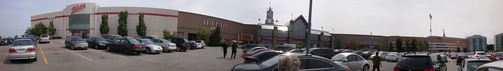
The skyline of the Erin Mills neighborhood with the downtown district in the background. | |
| Coordinates: 43°32′24″N 79°41′5″W / 43.54000°N 79.68472°W | |
| Country | Canada |
| Province | Ontario |
| Regional municipality | Peel |
| City | Mississauga |
| Time zone | EST (UTC-5) |
| • Summer (DST) | EDT (UTC-4) |
| Forward sortation area | L5L and L5M |
| Area code(s) | 905 and 289 |
| NTS Map | 030M12 |
| GNBC Code | FBCVM |

Erin Mills is a planned community in the city of Mississauga, approximately 32 km (20 mi) west of downtown Toronto, Ontario, Canada. Erin Mills was conceived, planned and developed by the Cadillac Fairview Corporation on 8,000 acres (32 km2) of farmland in Mississauga. Erin Mills is an integrated residential, industrial and commercial community, with commercial uses concentrated in the centre and industrial uses on the periphery.
Based on census and political boundaries, the 2001 population was estimated at 105,000, making it the most populous, but not the most densely populated, area in Mississauga, and one of the fastest-growing. Geographically, the area is by far the largest in Mississauga, occupying much of the western section of the city. A number of managed creek courses traverse the area and eventually drain to the Credit River, and then Lake Ontario.
History
Aboriginal peoples were the first inhabitants of this area. Tribes included the Woodland, Iroquois and Mississauga. Along what was called the "Indian Trail" they hunted deer, bears and fox amongst tall stands of pine, oak and maple trees. They also fished in the river to the east, following the ancient course of a valley filled by glacial debris.
European settlement of the area began in the very early 19th century. By the mid-19th century the area was entirely agricultural land and served by the nearby villages of Erindale and Streetsville, which were located just to the east along the Credit River.
There was one smaller settlement along present-day Dundas Street at Winston Churchill Boulevard named Frogmore, which popped up along the Toronto-Hamilton stagecoach route. This road would eventually become known as Dundas Street. Other small settlements near the area included Snider, to the west in modern-day Oakville and Sheridan, to the south.
Dundas Street was paved for automobile traffic in 1924.
Beginning in the 1950s, a wealthy Canadian entrepreneur, E.P. Taylor began buying farmland for future development by Canadian Equity and Development Limited, which owned Don Mills Development Corp. In 1969 Don Mills Development Corp. announced its plans to build a "New Town" in four phases. The first two phases - "Erin Mills South" and "Erin Mills West" - today form the nucleus of the Erin Mills community.
The name 'Erin Mills' was the creation of land developers, likely for its close proximity to Erindale, a historical village whose earlier inhabitants had renamed it in honour of their former homeland, Ireland. The second part Mills makes reference to the many grist mills that were operating on the banks of the nearby Credit River, although none of them were physically located in what is today Erin Mills.
Erin Mills was never incorporated, and became part of the Town of Mississauga (from Toronto Township) in 1968 and the City of Mississauga in 1974.
Neighbourhoods within Erin Mills

The first phase, Erin Mills South, known later as Erin Mills, was built beginning in the early 1970s continuing through the decade. A display centre formerly built to serve home buyers and residents as a meeting hall, etc. was closed in the early 1980s and was transformed into the large, popular nightclub "Richard's". This club was closed in the early 1990s due to noise concerns from nearby residents and the building sat empty for many years until being torn down later that decade.
Erin Mills West, phase 2 of the "New Town" development, was completed in the mid-1980s. This area was part of the town of Oakville until 1974 when with the advent of regional government, the city of Mississauga was established and its westerly boundary was extended to 9th line north of Dundas Street West. These lands then became part of Mississauga.
Erin Mills Central, phase 3, is for the most part fully developed. This section contains everything from hi-rise condominiums to large low density housing. Its focal point is the Erin Mills Town Centre, which was completed in 1989. Credit Valley Hospital, the largest in Mississauga, is located in this area. The older village of Streetsville sits adjacent to Erin Mills Central to the east, running along the Credit River. Both areas are connected closely, even in the context of Mississauga as a whole. For example, the Streetsville GO station serves as a commuter point for many Erin Mills residents travelling to work in Toronto and Streetsville residents use Erin Mills Town Centre as their primary retail shopping centre. The telephone exchanges in Erin Mills are referred to as "Streetsville exchanges", even though most are not located in the older section of the village.
Churchill Meadows, phase 4, was mostly developed from 2000 to 2010. The largest as yet undeveloped parcels in this phase are the 20 hectare McCracken Farm on Tenth Line, to be developed for semi-detached houses, and a 43 hectare property on Eglinton Avenue, to be developed for employment uses and a high school. Much of the new subdivisions are low to medium density residential, and as with the previous phases, land for parks has been protected from development. Unlike the previous phases, Churchill Meadows was built with a relatively permeable street network, and creek courses were not preserved. This section of Erin Mills borders the mostly rural section of the town of Milton, located to the west. The older suburban development of Meadowvale borders the area to the north.
All four sections described above are generally not referred to by locals as "west", "central", etc. but rather Erin Mills on the whole, the geographic distinctions were used by land developers to indicate the phasing of development.
To the south of Erin Mills (south of Dundas Street, north of the QEW), lies the older housing area of Sheridan Homelands and adjacent employment lands of Sheridan Park. This area is sometimes lumped in with Erin Mills by both locals and others when referring to a location within it.
The lack of a sustainable high use transit corridor has prevented Erin Mills from achieving higher densities, although there are some hi-rise condominium and rental units, some currently under construction. The area has an inter-connected and heavily forested recreational trail system.
Transportation
The six-lane mostly divided Erin Mills Parkway traverses Erin Mills in a more or less north-south direction.
Winston Churchill Boulevard also runs north-south to the west of the parkway. Most of the newer development is to the west of this road.
The toll route Highway 407 runs north-south and forms the western border with Milton.
Highway 403 intersects the area west-east and serves as the main highway route to access the remainder of the Greater Toronto Area.
The area is served by Mississauga Transit, Oakville Transit and commuter bus service via GO Transit. On the Milton train line, the Erindale and Streetsville GO Stations, and to a lesser extent the Meadowvale GO Station, are used by Erin Mills residents for commuting into Toronto. Also, the Clarkson GO Station, located to the south on the Lakeshore West line is also used for the same purpose, although some on this line commute westward to Oakville, Burlington and Hamilton.
Economy and business
The community is served by Erin Mills Town Centre, a large mall operated by Cadillac Fairview.
Honeywell Corp. is a large employer located in Erin Mills.
Although there is an employment base within Erin Mills, predominantly in the service sector and also some light duty manufacturing, most workers commute out of the area for employment.
Notable people residing in Erin Mills
- Carolyn Parrish, former MP, independent, Erindale. Former Mississauga City Councillor[1]
- Steven W. Mahoney, former MP, Liberal, Mississauga West
See also
- Erin Mills Middle School
- St. Joan of Arc Catholic Secondary School
- Loyola Catholic Secondary School
- Clarkson Secondary School
- John Fraser Secondary School
References
External links
| Wikimedia Commons has media related to Erin Mills. |
Coordinates: 43°32′24″N 79°41′05″W / 43.54000°N 79.68472°W