Enfield Town railway station
| Enfield Town | |
|---|---|
 | |
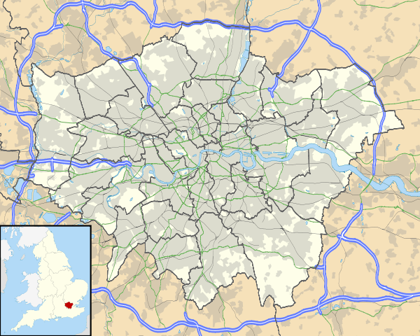 Enfield Town Location of Enfield Town in Greater London | |
| Location | Enfield |
| Local authority | London Borough of Enfield |
| Managed by | London Overground |
| Station code | ENF |
| Number of platforms | 3 |
| Accessible | Yes [1] |
| Fare zone | 5 |
| National Rail annual entry and exit | |
| 2010–11 |
|
| 2011–12 |
|
| 2012–13 |
|
| 2013–14 |
|
| 2014–15 |
|
| – interchange |
|
| Key dates | |
| 1849 | Opened |
| Other information | |
| Lists of stations | |
| External links | |
| WGS84 | 51°39′06″N 0°04′45″W / 51.6516°N 0.0792°WCoordinates: 51°39′06″N 0°04′45″W / 51.6516°N 0.0792°W |
|
| |
Enfield Town is the northern terminus of a branch of the Lea Valley Lines, on the London Overground network. It is the most central of several stations in the London Borough of Enfield, north London. It is 10 miles 55 chains (17.2 km) down-line from London Liverpool Street, the southern terminus.
Its three-letter station code is ENF and it is in Travelcard zone 5. In 2015 the line and Enfield Town station transferred from Abellio Greater Anglia operation to London Overground, and it was added to the Tube map.
The town is also served by the Hertford Loop Line with a station at Enfield Chase on the opposite side of the town centre. The nearest station on the West Anglia Main Line is at Ponders End. Enfield Lock is another main line station in the north of the town, on the Tottenham Hale branch of the Lea Valley Lines, but is not located in central Enfield.
History
The station was opened on 1 March 1849 by the Eastern Counties Railways as Enfield. It was renamed Enfield Town on 1 April 1886.[3]
A house which stood on the site since the late 17th century is said to have been the birthplace of Isaac D'Israeli, father of Benjamin Disraeli, and later to have become a school, where John Keats was educated. It became the station-house before being demolished in 1872. The fine 17-century brickwork facade, once attributed to Christopher Wren, was dismantled, and reconstructed at South Kensington Museum.[4][5]

Its place was taken by a brick station building with an attached station-master's house and a walled forecourt. This in turn was replaced in 1957 by the present building by the British Railways architect H. H. Powell.[6] Ticket barriers were installed in 2012.
In 2015 the station transferred from Abellio Greater Anglia to London Overground.[7][8]
Services
The typical off-peak service from the station is two trains per hour to London Liverpool Street. At peak times four trains each hour serve the station and there are additional trains on Tottenham Hotspur Football Club's matchdays, which do not call at all stations along the line.
Unusually for this line, there are no stairs at Enfield Town, as the platforms are at street level.
Connections
London Buses routes 121, 191, 192, 231, 307, 313, 317, 329, 377, W8, W9 and W10 and night route N29 serve the station.
References
- ↑ "London and South East" (PDF). National Rail Enquiries. National Rail. September 2006. Archived from the original (pdf) on 6 March 2009.
- 1 2 3 4 5 6 "Station usage estimates". Rail statistics. Office of Rail Regulation. Please note: Some methodology may vary year on year.
- ↑ Chronology of London Railways by H.V.Borley
- ↑ Ford, Edward; Hodson, George H. (1873). A History of Enfield in the County of Middlesex. Enfield. p. 206.
- ↑ "Architectural-facade". Victoria and Albert Museum.
- ↑ Connor, Jim (2004). Branch Lines to Enfield Town and Palace Gates. Middleton Press. p. 96. ISBN 9781904474326.
- ↑ TFL appoints London Overground operator to run additional services Transport for London 28 May 2014
- ↑ TfL count on LOROL for support Rail Professional 28 May 2014
External links
| Wikimedia Commons has media related to Enfield Town railway station. |
- Train times and station information for Enfield Town railway station from National Rail
- grid reference TQ330965
| Bush Hill Park | Lea Valley Lines Enfield Town line |
Terminus | ||
| Companies and organisations | |||||||||||
|---|---|---|---|---|---|---|---|---|---|---|---|
| Airports |
| ||||||||||
| Major stations | |||||||||||
| Roads |
| ||||||||||
| Ticketing | |||||||||||
| Other | |||||||||||
| Former BR sectors | |||||||||||
| |||||||||||
| |||||||||||||||||||||||||||||||||
| |||||||||||||||||||||||||||||||||