El Molar, Priorat
| El Molar | ||
|---|---|---|
| Municipality | ||
|
Cultivated fields near El Molar | ||
| ||
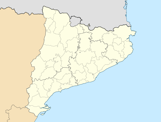 El Molar Location in Catalonia | ||
| Coordinates: 41°9′56″N 0°42′26″E / 41.16556°N 0.70722°ECoordinates: 41°9′56″N 0°42′26″E / 41.16556°N 0.70722°E | ||
| Country |
| |
| Community |
| |
| Province | Tarragona | |
| Comarca | Priorat | |
| Government | ||
| • mayor | Alfred Grifoll Abelló (2015)[1] | |
| Area[2] | ||
| • Total | 22.8 km2 (8.8 sq mi) | |
| Elevation | 228 m (748 ft) | |
| Population (2014)[1] | ||
| • Total | 293 | |
| • Density | 13/km2 (33/sq mi) | |
| Demonym(s) | Molarenc, molarenca | |
| Website |
www | |


El Molar is a municipality in the comarca of Priorat, Tarragona Province, Catalonia, Spain.
Most of the local economy is based on vineyards, as well as almond and olive tree plantations.
History
There are remainders of two ancient villages, the oldest from the 6th or 7th century, within the El Molar municipal term.
The present village dates from the 13th century, after the area had been reconquered from the saracens. During medieval times the town was part of the Barony of Entença. According to an 1156 document by which Ramon Berenguer IV ceded the territory to the Poblet Monastery, El Molar was linked to neighboring Garcia town. This situation ended in the 19th century.
El Molar was bombed by Condor Legion planes during the Spanish Civil War. An abandoned galena mine nearby was used as a field hospital during the Battle of the Ebro.[3]
Monuments
The 18th century local church is dedicated to Saint Roch (Sant Roc).
References
- 1 2 "Ajuntament del Molar". Generalitat of Catalonia. Retrieved 2015-11-13.
- ↑ "El municipi en xifres: El Molar". Statistical Institute of Catalonia. Retrieved 2015-11-23.
- ↑ Enciclopèdia Catalana en línia
- Joan Asens, Guia del Priorat, Tarragona, Edicions de la Llibreria La Rambla, 1981.
- Jordi Tomàs Bonell, Descubrir Catalunya, poble a poble, Premsa Catalana, Barcelona, 1994
External links
| Wikimedia Commons has media related to El Molar, Priorat. |
- El Molar Town Hall webpage
- Informació de la Generalitat de Catalunya
- Informació de l'Institut d'Estadística de Catalunya
- Institut Cartogràfic de Catalunya (Catalan)
 |
La Torre de l'Espanyol | La Figuera El Lloar |
Gratallops | |
| Garcia | |
Bellmunt del Priorat | ||
| ||||
| | ||||
| El Masroig |
