East Walton
| East Walton | |
 East Walton St. Mary |
|
 East Walton |
|
| Area | 10.81 km2 (4.17 sq mi) |
|---|---|
| OS grid reference | TF744157 |
| Civil parish | East Walton |
| District | King's Lynn and West Norfolk |
| Shire county | Norfolk |
| Region | East |
| Country | England |
| Sovereign state | United Kingdom |
| Post town | KING'S LYNN |
| Postcode district | PE32 |
| Police | Norfolk |
| Fire | Norfolk |
| Ambulance | East of England |
| EU Parliament | East of England |
Coordinates: 52°42′41″N 0°34′53″E / 52.71125°N 0.58133°E
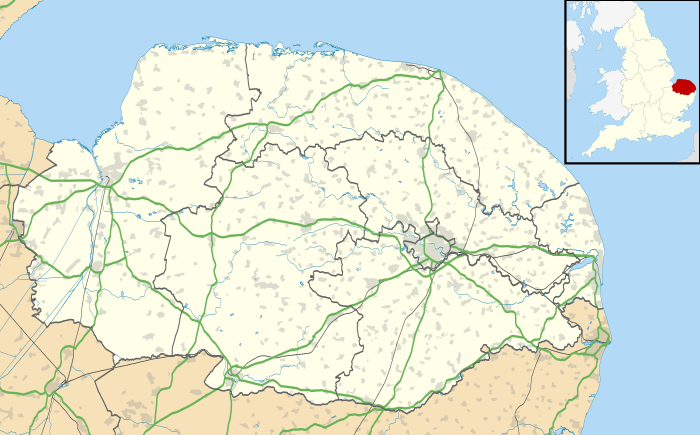
East Walton is a civil parish in the English county of Norfolk. It covers an area of 10.81 km2 (4.17 sq mi) and had a population of 94 in 40 households at the 2001 census.[1] At the 2011 Census the population remained less than 100 and was included in the civil parish of West Acre. For the purposes of local government, it falls within the district of King's Lynn and West Norfolk.
Its church, St. Mary, is one of 124 existing round-tower churches in Norfolk.
Governance
East Walton is a parish of the Kings Lynn and West Norfolk district council, which is responsible for the most local services, and for Westminster elections it forms part of the North West Norfolk constituency, represented by Henry Bellingham (Conservative). Norfolk County Council is responsible for roads, some schools, and social services, and the county councillor is Richard Toby Coke (UKIP).
Notes
- ↑ Census population and household counts for unparished urban areas and all parishes. Office for National Statistics & Norfolk County Council (2001). Retrieved 20 June 2009.
External links
| Wikimedia Commons has media related to East Walton. |
- Village website
- Website with photos of East Walton St. Mary, a round-tower church
- (http://www.ggmbenefice.uk The web site for St Mary's Church, East Walton)