Easington Lane
| Easington Lane | |
 Easington Lane |
|
| OS grid reference | NZ364460 |
|---|---|
| Civil parish | Hetton |
| Metropolitan borough | City of Sunderland |
| Metropolitan county | Tyne and Wear |
| Region | North East |
| Country | England |
| Sovereign state | United Kingdom |
| Post town | HOUGHTON LE SPRING |
| Postcode district | DH5 |
| Dialling code | 0191 |
| Police | Northumbria |
| Fire | Tyne and Wear |
| Ambulance | North East |
| EU Parliament | North East England |
| UK Parliament | Houghton and Washington East |
|
|
Coordinates: 54°48′22″N 1°25′56″W / 54.806°N 1.4323°W
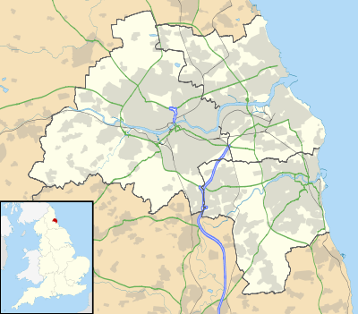
Easington Lane is located in North East England between Houghton-le-Spring and Easington Village, in the parish of Hetton. It is the southernmost point of the City of Sunderland and Tyne and Wear.
Originating as a staggered cross roads the village now consists of a main street (the A182 road) with housing estates either side fronted by shops. Linear development along the Durham and Murton Roads are mainly fronted by terraced housing. Certain aspects of the village have changed little in the last 30 years but the effects of all local coal mine closures with general industrial decline has caused a depopulation trend in the village. The demolition of an estate of houses provided the site of the new primary school. Instead of being located at the top of main street this new school is now in High Street. This school now houses the old Elemore Colliery banner. Other landmarks like the Cosy cinema the Commercial Inn and Ferri's ice cream parlour, The Lord Seaham and Cross House (public houses) have also passed into history. Community spirit in the village is still comparatively strong; an example being the commissioning of a new banner for the Elemore colliery lodge. This is paraded through the village to Hetton le Hole before embarkation to Durham for the annual Miners Gala, usually the second Saturday in July. The former Miners Welfare Hall now serves as a community centre and houses a museum dedicated to the memory of Elemore Colliery, coal mining and the coal mining community of Easington Lane. Plans are afoot to mark the site of the colliery with the erection of a winding wheel once funds are secured to enable this. The remembrance and toll of two world wars is focussed upon an imposing war memorial clock tower in the centre of the village. St Michael and All Angels parish church remains as the most notable building in the High Street. The churchyard of which contains the memorial, and many of the graves, of those killed in the Elemore Coliery explosion of 2nd December 1886.
Easington Lane is within easy reach by car or bus to the retail parks Dalton Park and seaside. Close to all the major shopping areas: Newcastle, Gateshead, Sunderland, Durham. Easington Lane is twinned with the urban area Soweto, in South Africa.