Durgin Bridge
|
Durgin Bridge | |
|
1970 photo | |
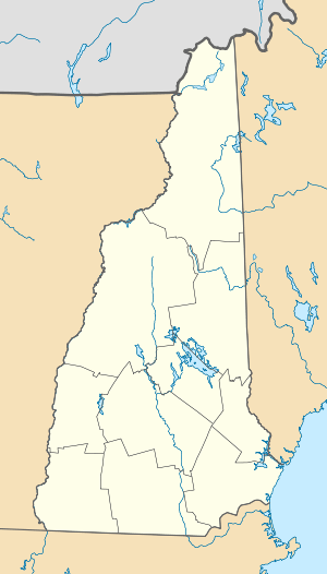  | |
| Location | Durgin Bridge Rd., Sandwich, New Hampshire |
|---|---|
| Coordinates | 43°51′21″N 71°21′53″W / 43.85583°N 71.36472°WCoordinates: 43°51′21″N 71°21′53″W / 43.85583°N 71.36472°W |
| Area | 0.1 acres (0.040 ha) |
| Built | 1869 |
| Architectural style | Paddleford truss |
| NRHP Reference # | 83001130[1] |
| Added to NRHP | September 22, 1983 |

The Durgin Bridge is a covered bridge carrying Durgin Bridge Road over the Cold River in eastern Sandwich, New Hampshire. Built in 1869, it is a Paddleford truss bridge, with a total length of 110 feet (34 m) and a width of 19 feet (5.8 m). The span over the river is 96 feet (29 m) and the roadway width is now 14 feet (4.3 m), having been reduced from 16 feet by the addition of strengthening arches in 1966. The bridge rests on concrete-faced stone abutments. It is the fourth bridge known to be standing at the site, the first three having been washed away by spring floods. Jacob Berry, the builder, eliminated the central pier used by the earlier bridges, and raised the height of the bridge 10 feet (3.0 m). It is the only surviving 19th-century covered bridge in Sandwich.[2]
The bridge was listed on the National Register of Historic Places in 1983.[1]
See also
- List of New Hampshire covered bridges
- List of bridges on the National Register of Historic Places in New Hampshire
- National Register of Historic Places listings in Carroll County, New Hampshire
References
- 1 2 National Park Service (2010-07-09). "National Register Information System". National Register of Historic Places. National Park Service.
- ↑ "NRHP nomination for Durgin Bridge" (PDF). National Park Service. Retrieved 2014-05-10.
| Topics |  | |
|---|---|---|
| Lists by county | ||
| Other lists | ||
| ||