Duékoué
| Duékoué | |
|---|---|
| City, sub-prefecture, and commune | |
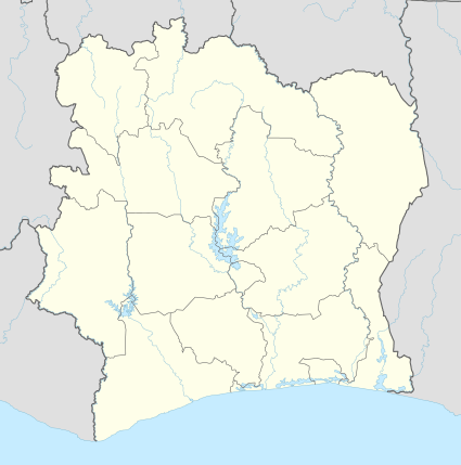 Duékoué Location in Ivory Coast | |
| Coordinates: 6°44′N 7°21′W / 6.733°N 7.350°WCoordinates: 6°44′N 7°21′W / 6.733°N 7.350°W | |
| Country |
|
| District | Montagnes |
| Region | Guémon |
| Department | Duékoué |
| Population (2014)[1] | |
| • Total | 185,344 |
| Time zone | GMT (UTC+0) |
Duékoué (French: [dwekwe]) is a city in western Ivory Coast. It is a sub-prefecture of and the seat of Duékoué Department. It is also the seat of Guémon Region in Montagnes District and a commune. In the 2014 census, the population of Duékoué was 185,344,[1] making it the ninth-largest city in the country.
History
At least 800 people were killed in Duékoué on 29 March 2011 during fierce fighting during the 2010–11 Ivorian crisis.[2]
Climate
The Köppen-Geiger climate classification system classifies its climate as tropical wet and dry (Aw).[3]
| Climate data for Duékoué | |||||||||||||
|---|---|---|---|---|---|---|---|---|---|---|---|---|---|
| Month | Jan | Feb | Mar | Apr | May | Jun | Jul | Aug | Sep | Oct | Nov | Dec | Year |
| Average high °C (°F) | 33.2 (91.8) |
33.5 (92.3) |
33.1 (91.6) |
32.5 (90.5) |
31.8 (89.2) |
29.9 (85.8) |
28.2 (82.8) |
28 (82) |
29.2 (84.6) |
30.3 (86.5) |
31.4 (88.5) |
31.8 (89.2) |
31.08 (87.9) |
| Daily mean °C (°F) | 25.9 (78.6) |
26.9 (80.4) |
27.1 (80.8) |
26.9 (80.4) |
26.6 (79.9) |
25.4 (77.7) |
24.1 (75.4) |
24 (75) |
24.8 (76.6) |
25.4 (77.7) |
25.8 (78.4) |
25.3 (77.5) |
25.68 (78.2) |
| Average low °C (°F) | 18.6 (65.5) |
20.3 (68.5) |
21.1 (70) |
21.4 (70.5) |
21.5 (70.7) |
21 (70) |
20.1 (68.2) |
20.1 (68.2) |
20.5 (68.9) |
20.5 (68.9) |
20.3 (68.5) |
18.9 (66) |
20.36 (68.66) |
| Average precipitation mm (inches) | 14 (0.55) |
55 (2.17) |
103 (4.06) |
132 (5.2) |
149 (5.87) |
207 (8.15) |
125 (4.92) |
181 (7.13) |
290 (11.42) |
177 (6.97) |
56 (2.2) |
17 (0.67) |
1,506 (59.31) |
| Source: Climate-Data.org (altitude: 231m)[3] | |||||||||||||
References
- 1 2 "Côte d'Ivoire". geohive.com. Retrieved 7 December 2015.
- ↑ "Fighting in Ivory Coast town kills at least 800 people, Red Cross says". BNO News. Retrieved 2 April 2011.
- 1 2 "Climate: Duekoue - Climate graph, Temperature graph, Climate table". Climate-Data.org. Retrieved 2014-01-06.
Regional seat: Duékoué | ||
| Bangolo Department |  | |
| Duékoué Department | ||
| Facobly Department | ||
| Kouibly Department | ||
* also a commune | ||
| | |||||||||
|---|---|---|---|---|---|---|---|---|---|
| Rank | Name | District | Pop. | ||||||
 Abidjan |
1 | Abidjan | Abidjan | 4 395 243 | |||||
| 2 | Bouaké | Vallée du Bandama | 536 189 | ||||||
| 3 | Daloa | Sassandra-Marahoué | 319 427 | ||||||
| 4 | Korhogo | Savanes | 286 071 | ||||||
| 5 | Yamoussoukro | Yamoussoukro | 281 735 | ||||||
| 6 | San-Pédro | Bas-Sassandra | 261 616 | ||||||
| 7 | Gagnoa | Gôh-Djiboua | 213 918 | ||||||
| 8 | Man | Montagnes | 188 704 | ||||||
| 9 | Duékoué | Montagnes | 185 344 | ||||||
| 10 | Divo | Bas-Sassandra | 179 455 | ||||||
This article is issued from Wikipedia - version of the 4/8/2016. The text is available under the Creative Commons Attribution/Share Alike but additional terms may apply for the media files.