Drayton, Northamptonshire
| Drayton | |
.JPG) Drayton Green |
|
 Drayton |
|
| Population | 6,415 (2001 Census) Includes Daventry |
|---|---|
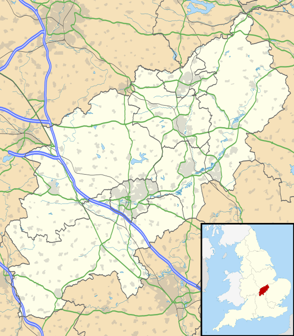
| OS grid reference | SP5763 |
| District | Daventry |
| Shire county | Northamptonshire |
| Region | East Midlands |
| Country | England |
| Sovereign state | United Kingdom |
| Post town | DAVENTRY |
| Postcode district | NN11 |
| Dialling code | 01327 |
| Police | Northamptonshire |
| Fire | Northamptonshire |
| Ambulance | East Midlands |
| EU Parliament | East Midlands |
| UK Parliament | Daventry |
|
|
Coordinates: 52°16′N 1°11′W / 52.26°N 1.18°W
Drayton is a hamlet in England, in the county of Northamptonshire, in the parish and union of Daventry, hundred of Fawsley, ¾ of a mile on the low-lying north western side of the town of Daventry (where the population is included).[1][2]
History
Not much is known about the origins of the hamlet but it is thought to be as old, or nearly as old, as Daventry.[3] The name is an amalgamation of a Brythonic name "Dray" cognate with Tre meaning a farm or settlement, with "ton" a Saxon suffix with a similar meaning. It is thought to have peasant origins, although a Roman pavement was discovered near to the hamlet in 1736.
It was enclosed in 1753. In recent years the hamlet has expanded and is surrounded by and is part of the modern town of Daventry (both civil and ecclesiastical parishes).
There are seven buildings or groups of buildings on the List of Buildings of Special Architectural or Historic Interest. They are all listed as Grade II in the Daventry list under Orchard Street, the Orchards and School Street.[4] They include the Manor House and the school built in 1859 which once catered for the education of 45 children, but it is now a private residence.
Gallery
.JPG) The Old School House
The Old School House
References
- ↑ ’OS’ Explorer Map, Rugby & Daventry 222, ISBN 978-0-319-23734-2
- ↑ Ordnance Survey of Great Britain New Popular Edition, Sheet 132 - Coventry and Rugby
- ↑ History On Line
- ↑ British Listed Buildings
External links
![]() Media related to Drayton, Northamptonshire at Wikimedia Commons
Media related to Drayton, Northamptonshire at Wikimedia Commons