Dordon
| Dordon | |
 The A5 in Dordon. |
|
 Dordon |
|
| Population | 3,215 (2011) |
|---|---|
| OS grid reference | SP2600 |
| – London | 99 mi (159 km) SE |
| Civil parish | Dordon |
| District | North Warwickshire |
| Shire county | Warwickshire |
| Region | West Midlands |
| Country | England |
| Sovereign state | United Kingdom |
| Post town | Tamworth |
| Postcode district | B78 |
| Dialling code | 01827 |
| Police | Warwickshire |
| Fire | Warwickshire |
| Ambulance | West Midlands |
| EU Parliament | West Midlands |
| UK Parliament | North Warwickshire |
|
|
Coordinates: 52°36′05″N 1°36′52″W / 52.6013°N 1.6145°W
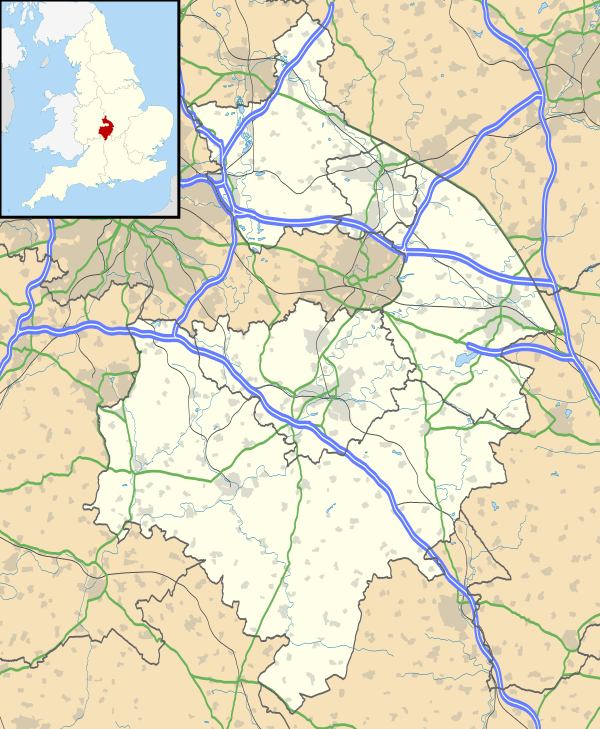
Dordon is a village and civil parish in the North Warwickshire district of the county of Warwickshire in England and close to the border with Staffordshire. The village is located on the A5 and is adjacent to Polesworth. Other nearby places include Grendon, Wood End, Baddesley Ensor, Atherstone, Nuneaton and Tamworth. In 2001 the population for the parish of Dordon was 3,225, reducing slightly to 3,215 at the 2011 census.[1]
History
Dordon was just a row of Houses until the Opening of Birch Coppice mine and it has grown since then. There was a big growth in the village in 1920 and Dordon became a civil parish in its own right on 1 April 1948,[2] The biggest growth came in 1960 when the village more than tripled in size. The mine closed in 1987.
Demographics
According to the 2001 Census the population for the Dordon ward and civil parish was 3,225.[3] Over 97% of people (3,133) describe themselves as White British with only 112 people from an ethnic minority.
Governance
The village has its own parish called Dordon civil parish.[4]
Dordon is part of North Warwickshire and the Dordon Ward, and because of the mining connection the Ward often elects Labour councillors.[5] In Warwickshire County Council Dordon is part of the Baddesley Ensor ward and is represented by the Labour Raymond Sweet.[6]
It is part of the North Warwickshire constituency and the current MP is Conservative Dan Byles,[7] it is also part of the West Midlands European Parliament constituency which is represented by 6 MEPs.
Public services
Waste collection services are provided by North Warwickshire Borough Council. Water and sewage services are provided by Severn Trent Water and the Sewage Treatment Works is in on the edge of Dordon.[8] The Distribution Network Operator for electricity is Central Networks better known as E.ON UK.
Unlike most villages in the area it uses a Birmingham (B) Postcode Rather than a Coventry (CV) postcode, there is a small sub-post office located in the Co-Operative on New Street,[9] and the Postal Town is Tamworth. Dordon has its own library, formerly operated by Warwickshire county council.[10] but now run by volunteers belonging to the group "Readers of Roman Way".
The nearest police station is in Atherstone[11] and the nearest fire station is in Polesworth.
Crime
In 2009 there was an average of 5.1 crimes per 1,000 people for the ward of Hurley and Wood End, and during the same period there were 5 crimes per head for the borough of North Warwickshire. In 2010 the figure was up to 5.8 crimes per head. The most common type of crime is anti-social behaviour.[12] In January 2011 there were 19 reported crimes in Dordon[13]
Health
Dordon lies in the North Warwickshire NHS trust area. Dordon has its own GPs called Dordon Surgery.[14] The George Eliot Hospital at Nuneaton is the area's local hospital.[15][16] It has an Accident and Emergency Department. Out of hours GP services are also based at George Eliot.
Education
In terms of further education the area is served by North Warwickshire and Hinckley College at Nuneaton. There is also Tamworth and Lichfield College
Primary Education
Dordon has 2 Primary schools one called Dordon community primary school and the other called Birchwood primary school.
The Polesworth School
Despite being named after Polesworth, Dordon has a high school called The Polesworth School which is used by students from the ages of 12-18.
Religion
According to the 2001 census for the parish of Dordon 2,568 describe themselves as Christian and 629 are non-religious, there are also 4 Buddhists, 9 Muslims, 13 Sikhs and 3 people describe their religion as other.[17]
St Leonard Church
The Dordon's Church of England Parish church is called St Leonard Church and was Built in 1868,[18] it is in the parish of St Leonard, Dordon along with St Mary church in nearby Freasley.
Dordon Congregational Church
Dordon also has a small Congregational Church on Long Street, Which is simply called Dordon Congregational Church.
Transport
Dordon lies close to the M42 at junction 10 and the A5 (Watling Street) runs through Dordon.
The village has many bus stops along Dotted around and is served by route 765 and the newly introduced 766. The nearest railway station was Polesworth.[19] but this is now effectively closed and so rail links can be made in Tamworth or Atherstone.
The nearest airports are Birmingham (12 miles) and East Midlands (20 miles). [20]
Media
The local newspapers covering the area are the Tamworth Herald, which has a separate edition for North Warwickshire and the Atherstone Recorder.
Local radio includes BBC Coventry & Warwickshire, Mercia and Touch FM.
The village is covered by the Central ITV and BBC West Midlands TV regions broadcast from the nearby Sutton Coldfield transmitting station.
References
- ↑ "Civil Parish population 2011". Neighbourhood Statistics. Office for National Statistics. Retrieved 27 December 2015.
- ↑ "Relationships / unit history of DORDON". Visionofbritain.org.uk. Retrieved 20 November 2011.
- ↑ Neighbourhood Statistics. "2001 census statistics". Neighbourhood Statistics. Office for National Statistics. Retrieved 20 November 2011.
- ↑ Dordon Civil Parish
- ↑ "Councillors by Ward: Dordon NWBC". Northwarks.gov.uk. 1 April 2005. Retrieved 20 November 2011.
- ↑ "Raymond (Ray) Sweet". Democratic.warwickshire.gov.uk. Retrieved 20 November 2011.
- ↑ Dan Byles MP. "Dan Byles". Dan Byles. Retrieved 20 November 2011.
- ↑ "Dordon Sewage Treatment Works". Biwater.co.uk. Retrieved 20 November 2011.
- ↑ "Post Office® branch finder". Royalmail.com. Retrieved 20 November 2011.
- ↑ Warwickshire Libraries Archived 25 April 2010 at the Wayback Machine.
- ↑ Warwickshire Police Stations Archived 1 January 2011 at the Wayback Machine.
- ↑ "Crime For Dordon". Safer-neighbourhoods.co.uk. 25 May 2011. Retrieved 20 November 2011.
- ↑ "Crime for Dordon". Police.uk. Retrieved 20 November 2011.
- ↑ "NHS Surgeries Near Dordon". Nhs.uk. 9 November 2011. Retrieved 20 November 2011.
- ↑ "NHS - Find your Nearest Doctor, Optician, Pharmacy, dentist, hospital: Outline NWBC". Northwarks.gov.uk. Retrieved 20 November 2011.
- ↑ "George Elliot Hospital". Geh.nhs.uk. 14 November 2011. Retrieved 20 November 2011.
- ↑ Neighbourhood Statistics. "Religion (UV15)". Neighbourhood Statistics. Office for National Statistics. Retrieved 20 November 2011.
- ↑ A Church Near You. "St Leonard, Dordon". Achurchnearyou.com. Retrieved 20 November 2011.
- ↑ "Dordon, Warwickshire Nearest station". Transportdirect.info. Retrieved 20 November 2011.
- ↑ "Nearest station/airport(s)". Transportdirect.info. Retrieved 20 November 2011.
External links
![]() Media related to Dordon at Wikimedia Commons
Media related to Dordon at Wikimedia Commons
| Boroughs or districts | |
|---|---|
| Major settlements | |
| Rivers | |
| Canals | |
| Topics | |