Dolná Streda
| Dolná Streda | |
| Settlement | |
| Country | Slovakia |
|---|---|
| Region | Trnava |
| District | Galanta |
| River | Váh River |
| Elevation | 123 m (404 ft) |
| Coordinates | SK 48°16′11″N 17°45′15″E / 48.26972°N 17.75417°ECoordinates: SK 48°16′11″N 17°45′15″E / 48.26972°N 17.75417°E |
| Timezone | CET (UTC+1) |
| - summer (DST) | CEST (UTC+2) |
| Car plate | GA |
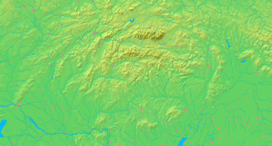  Location of Dolná Streda in Slovakia
| |
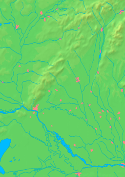  Location of Trnava Region
| |
| Wikimedia Commons: Dolna Streda | |
| Statistics: MOŠ/MIS | |
| Website: www.dolnastreda.sk | |
Dolná Streda (Hungarian: Alsószerdahely) is a village and municipality in the Galanta District of the Trnava Region of western Slovakia.
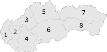
Position of the Trnava Region marked '2' in Slovakia
Genealogical resources
The records for genealogical research are available at the state archive "Statny Archiv in Bratislava, Slovakia"
- Roman Catholic church records (births/marriages/deaths): 1717-1895 (parish A)
See also
External links
Oficiálna stránka obce: http://www.dolnastreda.sk/
This article is issued from Wikipedia - version of the 12/1/2015. The text is available under the Creative Commons Attribution/Share Alike but additional terms may apply for the media files.