Doi Luang, Phi Pan Nam Range
"Doi Luang" redirects here. For other uses, see Doi Luang (disambiguation).
| Doi Luang | |
|---|---|
| ดอยหลวง | |
 Doi Luang rising west of Phayao Lake | |
| Highest point | |
| Elevation | 1,694 m (5,558 ft) |
| Listing | List of mountains in Thailand |
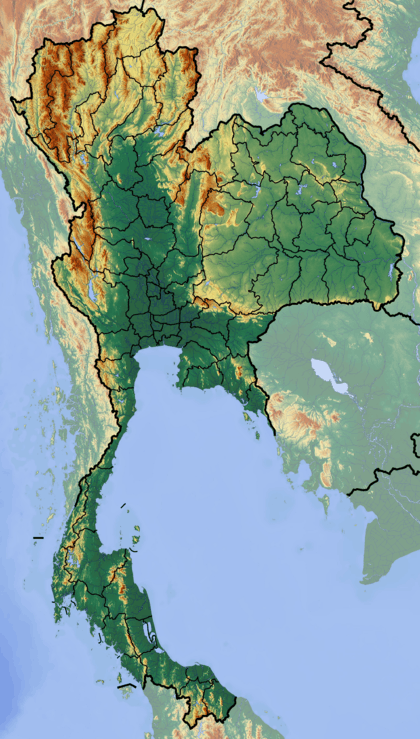
| Coordinates | 19°08′04″N 99°45′29″E / 19.13444°N 99.75806°ECoordinates: 19°08′04″N 99°45′29″E / 19.13444°N 99.75806°E [1] |
| Geography | |
 Doi Luang | |
| Parent range | Phi Pan Nam Range |
| Climbing | |
| First ascent | unknown |
| Easiest route | drive, then hike |
Doi Luang (Thai: ดอยหลวง) is a 1,694 m high mountain in Thailand, part of the Phi Pan Nam Range.
The mountain rises at the western end of Ban Tun Subdistrict, Mueang Phayao District, Phayao Province, near the point where the limit of this province meets with Lampang Province. With a height of 1,694 metres it is the highest point of the Phi Pan Nam Range.[2] There are a number of less high mountains with the name 'Doi Luang' throughout the same range.
Its summit is located within the Doi Luang National Park limits, less than 7 km to the north of Route 120 between Wang Nuea and the AH2 Highway.
See also
References
External links
This article is issued from Wikipedia - version of the 5/6/2016. The text is available under the Creative Commons Attribution/Share Alike but additional terms may apply for the media files.