Dhanyala
| Dhanyala | |
|---|---|
| Village and union council | |
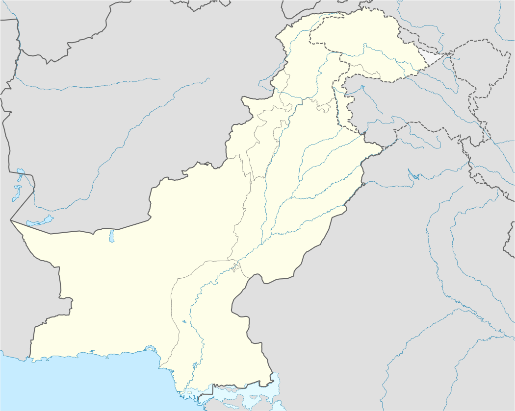 Dhanyala Location in Pakistan | |
| Coordinates: 33°02′14″N 73°40′46″E / 33.03722°N 73.67944°ECoordinates: 33°02′14″N 73°40′46″E / 33.03722°N 73.67944°E | |
| Country | Pakistan |
| Region | Punjab Province |
| District | Jhelum District |
| Government | |
| Elevation | 256 m (840 ft) |
| Population | |
| • Total | 14,500 |
| Time zone | PST (UTC+5) |
Dhanyala دهنيالہ is a village and union council of Jhelum District in the Punjab Province of Pakistan. It is part of Jhelum Tehsil,[1] and is located at 33°02'21.4"N 73°40'46.1"E, at an altitude of 256 metres (840 ft).[2]
Dhanyala is one of the largest tribes living in the Potohar plateau and Lower Himalayas for the last eight centuries. This tribe traces its lineage to Hazrat Ali Ibne Talib (Karam-Ullah-Wajho).
In Dhanyala there is a hospital named Mian Muhammad Bukhsh Hospital.[3]
Education
Dhanyala is very prominent village of District Jhelum. People of Dhanyala are very educated and include officers in the Pakistan Army, police, and officers in the government and private sector. A lot of Dhanyalians are settled abroad. Dhanyala village is located 4 kilometers away from University of the Punjab, Jhelum campus. In Dhanyala there are many schools for boys and girls. Names of schools in Dhanyala are:
- Govt. Elementary school for Boys, Dhanyala.
- Govt. Higher secondary school for Girls, Dhanyala.
- Govt. Primary school for boys, Dhanyala.
