Depot Creek (Thunder Bay District)
For other places with the same name, see Depot Creek.
| Depot Creek | |
| River | |
| Country | Canada |
|---|---|
| Province | Ontario |
| Region | Northwestern Ontario |
| District | Thunder Bay |
| Source | Unnamed lake |
| - elevation | 398 m (1,306 ft) |
| - coordinates | 48°37′33″N 89°32′38″W / 48.62583°N 89.54389°W |
| Mouth | Kaministiquia River |
| - elevation | 331 m (1,086 ft) |
| - coordinates | 48°37′21″N 89°35′39″W / 48.62250°N 89.59417°WCoordinates: 48°37′21″N 89°35′39″W / 48.62250°N 89.59417°W |
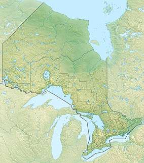 Location of the mouth of Depot Creek in Ontario
| |
Depot Creek is a river in geographic Ware Township,[1] Thunder Bay District in Northwestern Ontario, Canada.[2] It is in the Great Lakes Basin and is a left tributary of the Kaministiquia River.
The creek begins at an unnamed lake and flows southwest and then west, passing under Silver Creek Road just before reaching its mouth at the Kaministiquia River, about 10 kilometres (6.2 mi) north northwest of the community of Kaministiquia. The Kaministiquia River flows to Lake Superior.
References
- ↑ "Ware" (PDF). Geology Ontario - Historic Claim Maps. Ontario Ministry of Northern Development, Mines and Forestry. Retrieved 2014-08-14.
- ↑ "Depot Creek". Geographical Names Data Base. Natural Resources Canada. Retrieved 2014-08-14.
Other map sources:
- Map 13 (PDF) (Map). 1 : 1,600,000. Official road map of Ontario. Ministry of Transportation of Ontario. 2014. Retrieved 2014-08-14.
- Restructured municipalities - Ontario map #1 (Map). Restructuring Maps of Ontario. Ontario Ministry of Municipal Affairs and Housing. 2006. Retrieved 2014-08-14.
See also
This article is issued from Wikipedia - version of the 5/4/2016. The text is available under the Creative Commons Attribution/Share Alike but additional terms may apply for the media files.