Deir Abu Da'if
| Deir Abu Da'if | |
|---|---|
| Other transcription(s) | |
| • Arabic | دير ابو ضعيف |
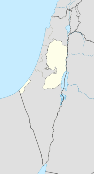 Deir Abu Da'if Location of Deir Abu Da'if within the Palestinian territories | |
| Coordinates: 32°27′21.30″N 35°21′56.65″E / 32.4559167°N 35.3657361°ECoordinates: 32°27′21.30″N 35°21′56.65″E / 32.4559167°N 35.3657361°E | |
| Governorate | Jenin |
| Government | |
| • Type | Municipality |
| Population (2006) | |
| • Jurisdiction | 5,293 |
Deir Abu Da'if (Arabic: دير ابو ضعيف) is a Palestinian village in the West Bank, located 6 km east of the city of Jenin in the northern West Bank. According to the Palestinian Central Bureau of Statistics, the town had a population of 5,293 inhabitants in mid-year 2006.[1]
Deir Abu Da'if municipality is inhibited by three main families; Yaseen, Mahameed, Al-Aliyat who are originally came from the city of Al-Khalil Hebron about 500 years ago.
References
| Wikimedia Commons has media related to Deir Abu Da'if. |
Bibliography
- Barron, J. B., ed. (1923). Palestine: Report and General Abstracts of the Census of 1922. Government of Palestine.
- Conder, Claude Reignier; Kitchener, H. H. (1882). The Survey of Western Palestine: Memoirs of the Topography, Orography, Hydrography, and Archaeology. 2. London: Committee of the Palestine Exploration Fund. (p. 83)
- Hadawi, Sami (1970). Village Statistics of 1945: A Classification of Land and Area ownership in Palestine. Palestine Liberation Organization Research Center.
- Mills, E., ed. (1932). Census of Palestine 1931. Population of Villages, Towns and Administrative Areas. Jerusalem: Government of Palestine.
- Palmer, E. H. (1881). The Survey of Western Palestine: Arabic and English Name Lists Collected During the Survey by Lieutenants Conder and Kitchener, R. E. Transliterated and Explained by E.H. Palmer. Committee of the Palestine Exploration Fund. (p. 160)
External links
- Welcome To Dayr Abu Da'if
- Survey of Western Palestine, Map 9: IAA, Wikimedia commons
| Cities |  | |
|---|---|---|
| Municipalities |
| |
| Villages |
| |
This article is issued from Wikipedia - version of the 8/12/2016. The text is available under the Creative Commons Attribution/Share Alike but additional terms may apply for the media files.