Dalgaon
For the train station named Dalgaon -DLO, see Birpara
| Dalgaon দলগাঁও Dolgaon | |
|---|---|
| town | |
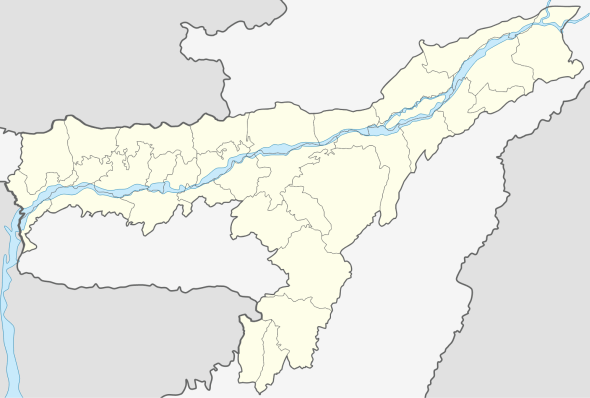 Dalgaon  Dalgaon Location in Assam, India | |
| Coordinates: 26°34′0″N 92°12′0″E / 26.56667°N 92.20000°ECoordinates: 26°34′0″N 92°12′0″E / 26.56667°N 92.20000°E | |
| Country |
|
| State | Assam |
| District | Darrang |
| Elevation | 48 m (157 ft) |
| • Density | 65/km2 (170/sq mi) |
| Languages | |
| • Official | Assamese |
| Time zone | IST (UTC+5:30) |
| PIN | 784116 |
| Vehicle registration | AS-13 |
| Coastline | 0 kilometres (0 mi) |
| Nearest city | Mangaldoi |
| Sex ratio | 1000/986 ♂/♀ |
| Literacy | 93.82% |
| Lok Sabha constituency | Mangaldoi (Lok Sabha constituency) |
| Climate | Cool (Köppen) |
| Avg. summer temperature | 34 °C (93 °F) |
| Avg. winter temperature | 09 °C (48 °F) |
Dalgaon is a town in Darrang district, Assam, India. Dalgaon is one of the most populated places of the state Assam. Some 93.82% of the total population are educated. It is one of the fastest-growing towns of the Assam. Approximately, 75% peoples are Muslims, 24.99% are Hindus are 0.01% are Christians.
Geography
It is located at an elevation of 48 m above MSL.[1]
Location
National Highway 15 passes through Dalgaon.
Politics
Dalgaon is part of Mangaldoi (Lok Sabha constituency).
References
External links
This article is issued from Wikipedia - version of the 9/22/2016. The text is available under the Creative Commons Attribution/Share Alike but additional terms may apply for the media files.