Dévoluy Mountains
| Dévoluy Mountains | |
|---|---|
 | |
| Highest point | |
| Peak | Grande Tête de l'Obiou |
| Elevation | 2,789 m (9,150 ft) |
| Coordinates | 44°46′31″N 05°50′22″E / 44.77528°N 5.83944°ECoordinates: 44°46′31″N 05°50′22″E / 44.77528°N 5.83944°E |
| Geography | |
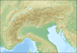 Dévoluy Mountains Location in the Alps | |
| Country | France |
| State/Province | Hautes-Alpes |
| Parent range | Dauphiné Prealps |
The Devoloy Mountains is a limestone massif located in Hautes-Alpes, France. It is part of the Dauphiné Prealps and is bordered by the Drac River to the north and the Buëch River to the south and west and is a popular destination for hiking, mountaineering and skiing. Its most notable peaks are the Grande Tête de l'Obiou (2,789 m) and Pic de Bure at 2,709 m.[1]
References
- ↑ "Dévoluy - summitpost". summitpost.org. Retrieved 27 March 2015.
This article is issued from Wikipedia - version of the 4/26/2015. The text is available under the Creative Commons Attribution/Share Alike but additional terms may apply for the media files.