Culford
Coordinates: 52°17′49″N 0°41′35″E / 52.297°N 0.693°E
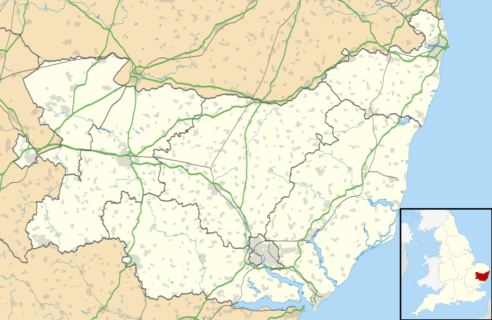
Culford is a small village about 4 miles (6 km) north of Bury St Edmunds in the English county of Suffolk. The village developed along a straight road called "The Street" and there are also some smaller residential areas in Culford, like Benyon gardens, a complex of small lanes. Most of the houses in central Culford are pre-war while those at the edges of the village are post-war and later. The population is included in the civil parish of Barton Mills.

Culford is home to Culford School, a public school and a member of the Methodist Schools Foundation. The school occupies a former stately home in Culford Park, built in 1796 for the Cornwallis family.
Culford's Public House, The White Hart, (now known as Benyon Lodge) was closed in December 1840 by Richard Benyon, owner of the Culford Estate between 1824 and 1883, because he regarded it as "a scene of moral debauchery".[1]
The first mention of a postal service in Culford is in July 1852, when a type of postmark known as an undated circle was issued. The post office closed in January 1990 and has since been turned into Culford Day nursery.
Population change
| Population growth in Culford from 1801 to 1891 | ||||||||||
|---|---|---|---|---|---|---|---|---|---|---|
| Year | 1801 | 1811 | 1821 | 1831 | 1841 | 1851 | 1881 | 1891 | ||
| Population | 244 | 239 | 291 | 327 | 352 | 348 | 299 | 364 | ||
| Number of Houses | - | - | - | 55 | 70 | 67 | 73 | 78 | ||
| Source: A Vision of Britain Through Time[2] | ||||||||||
| Population growth in Culford from 1901 to 2001 | ||||||||||
|---|---|---|---|---|---|---|---|---|---|---|
| Year | 1901 | 1911 | 1921 | 1931 | 1951 | 1961 | 2001 | |||
| Population | 313 | 325 | 284 | 286 | 286 | 286 | 637 | |||
| Number of Houses | 78 | - | 78 | 76 | 89 | 96 | - | |||
| Source: A Vision of Britain Through Time[2] | ||||||||||
Governance
Culford lies in the St Edmundsbury borough of the shire county of Suffolk. The four tiers of government & their respective representatives are:[3]
- West Suffolk Parliamentary Constituency Matthew Hancock
- Thingoe North Ward, Rebecca Hopfensperger Suffolk County Council
- Risby Ward, Helen Levack St Edmundsbury Borough Council
- Culford, West Stow and Wordwell Parish Council
Culford, West Stow and Wordwell Parish Councill has 7 elected members
In terms of community planning the parish does not currently have a Parish Plan or Village Design Statement.
Location
 |
West Stow | Elveden, Brandon | Honington | |
| Flempton | |
Ingham, Great Livermere, Ixworth | ||
| ||||
| | ||||
| Hengrave | Fornham St Martin, Bury St Edmunds | Great Barton, Timworth |
References
- ↑ Isabel Jones (Spring 2007). "Landowners and their motives for change at the Suffolk village of Culford between 1793 and 1903". The Historian (93): 34–37.
- 1 2 "A Vision of Britain Through Time". University of Portsmouth & others. Retrieved 2014-06-11.
- ↑ "Representatives of Culford". Retrieved 2014-06-11.
External links
![]() Media related to Culford at Wikimedia Commons
Media related to Culford at Wikimedia Commons