Crooked Billet
This article is about the area in south west London, England. For the American Revolutionary War battle, see Battle of Crooked Billet.
Coordinates: 51°25′17″N 0°13′39″W / 51.421408°N 0.227545°W
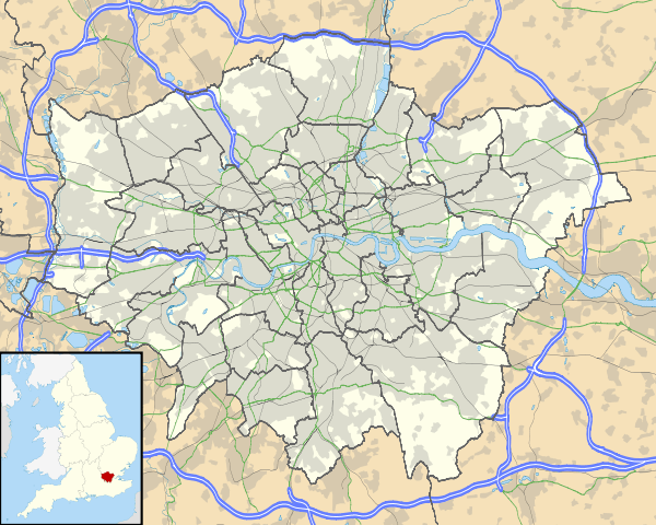
Crooked Billet is an area in south west London, England, in the London Borough of Merton. It is a small, rather obscure area in the south-west corner of Wimbledon Common. It is named after the Crooked Billet pub, which along with the Hand in Hand pub, faced onto a small triangular green. Nearby can be found King's College School.
| Districts | 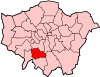 | |
|---|---|---|
| Attractions | ||
| Parks and open spaces | ||
| Constituencies | ||
| Tube, rail stations and tram stops | ||
| Other topics | ||
This article is issued from Wikipedia - version of the 9/2/2016. The text is available under the Creative Commons Attribution/Share Alike but additional terms may apply for the media files.