Crocker Range National Park
| Crocker Range National Park Taman Negara Banjaran Crocker | |
|---|---|
|
IUCN category II (national park) | |
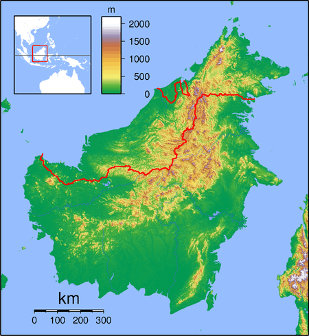 Crocker Range Location in Borneo | |
| Location | Sabah, Malaysia |
| Nearest city | Kota Kinabalu, Tambunan, Keningau |
| Coordinates | 5°32′N 116°6′E / 5.533°N 116.100°ECoordinates: 5°32′N 116°6′E / 5.533°N 116.100°E |
| Area | 1,399 km² |
| Established | 1984 |
| Governing body | Sabah Parks |
Crocker Range National Park (Malay: Taman Negara Banjaran Crocker) was established in 1984, although the area had previously been under protection as a forest reserve. It covers the north-south Crocker Range, of 1200-1800 metre mountains in Sabah, Malaysia. The boundaries of the park have been surveyed, but no facilities exist at present for visitors.
The park covers 1,399 km², making it the largest park in Sabah. The park consists of both hill and montane forest, with many species of flora and fauna endemic to Borneo. Maintenance of this forest cover is essential to ensuring a pure water supply for many of the towns and communities in Sabah.
The park contains at least five species of primates, such as the orang-utan, gibbons and the furry tarsier with its enormous round eyes, and extremely sociable long-tailed macaques. The Padas River bisects the range between Beaufort and Tenom.
Crocker Range Park is administered by Sabah Parks.
See also
External links
![]() Media related to Crocker Range National Park at Wikimedia Commons
Media related to Crocker Range National Park at Wikimedia Commons