Cottonwood Mountains (Riverside County)
| Cottonwood Mountains | |
|---|---|
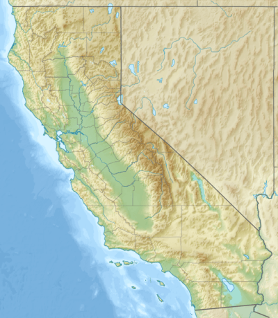 Location of the Cottonwood Mountains in California [1] | |
| Highest point | |
| Elevation | 1,045 m (3,428 ft) |
| Geography | |
| Country | United States |
| State | California |
| District | Riverside County |
| Range coordinates | 33°42′46″N 115°54′27″W / 33.7128°N 115.9075°WCoordinates: 33°42′46″N 115°54′27″W / 33.7128°N 115.9075°W |
| Topo map | USGS Cottonwood Basin |
The Cottonwood Mountains are a mountain range in Riverside County, California.[1] They lie between the Little San Bernardino Mountains to the west, and Eagle Mountains to the east and the Hexie Mountains to the north. They are partially included in the Joshua Tree Wilderness.
References
- 1 2 "Cottonwood Mountains". Geographic Names Information System. United States Geological Survey. Retrieved 2009-05-04.
This article is issued from Wikipedia - version of the 8/31/2016. The text is available under the Creative Commons Attribution/Share Alike but additional terms may apply for the media files.