Cornell Municipal Airport
| Cornell Municipal Airport | |||||||||||
|---|---|---|---|---|---|---|---|---|---|---|---|
| IATA: none – ICAO: none – FAA LID: 4WI9 | |||||||||||
| Summary | |||||||||||
| Airport type | Public | ||||||||||
| Owner/Operator | Cornell Aeroworks LLC | ||||||||||
| Location | Cornell, Wisconsin | ||||||||||
| Elevation AMSL | 1,154 ft / 352 m | ||||||||||
| Coordinates | 45°09′55.88″N 91°06′20.51″W / 45.1655222°N 91.1056972°WCoordinates: 45°09′55.88″N 91°06′20.51″W / 45.1655222°N 91.1056972°W | ||||||||||
| Map | |||||||||||
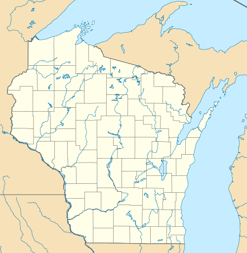 4WI9  4WI9 Location of airport in Wisconsin/United States | |||||||||||
| Runways | |||||||||||
| |||||||||||
| Statistics | |||||||||||
| |||||||||||
Cornell Municipal Airport (FAA LID: 4WI9) (formerly 2H3) is a public use airport located two nautical miles (3.4 km) east of the central business district of Cornell, a city in Chippewa County, Wisconsin, United States.[1]
Facilities and aircraft
Cornell Municipal Airport covers an area of 143 acres (58 ha) at an elevation of 1154 feet (352 m) above mean sea level. It has a single runway: 09/27 is 2,420 by 45 feet (738 x 14 m) with an asphalt surface.[1] The airport provides 100LL Mogas fuel.[2]
For the 12-month period ending September 2, 2010, the airport had 1,810 aircraft operations, an average of 35 per week, with 88% transient general aviation, 11% local general aviation and <1% military. In November 2016, there were 7 aircraft based at this airport: all 7 single-engine.[1]
References
- 1 2 3 4 FAA Airport Master Record for 4WI9 (Form 5010 PDF). Federal Aviation Administration. Effective Nov 10, 2016.
External links
- Resources for this airport:
- FAA airport information for 2H3
- AirNav airport information for 2H3
- FlightAware airport information and live flight tracker
- SkyVector aeronautical chart for 2H3
Aviation in Wisconsin | ||
|---|---|---|
| Primary airports | ||
| Airlines | ||
| Aviation related | ||
| People | ||